Marinas
Organised berths, shore power, water, showers, paperwork and the strange luxury of stepping ashore without a dinghy. Less romantic than anchoring — sometimes exactly what the crew needs.
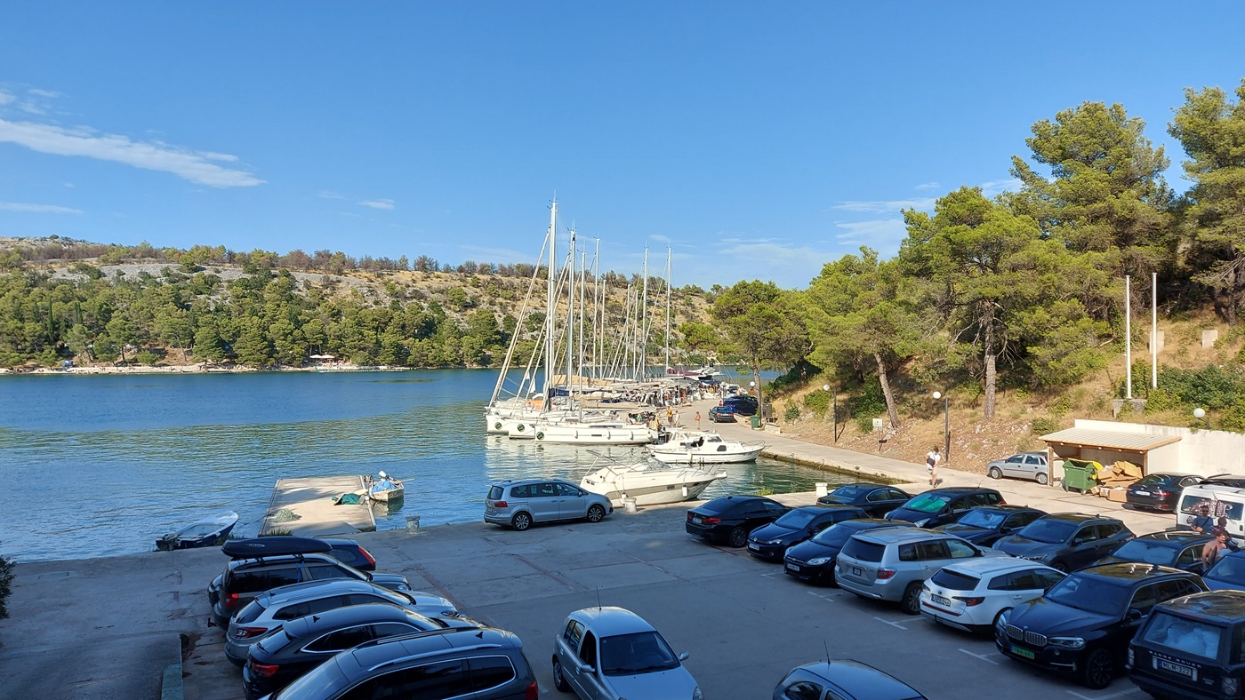
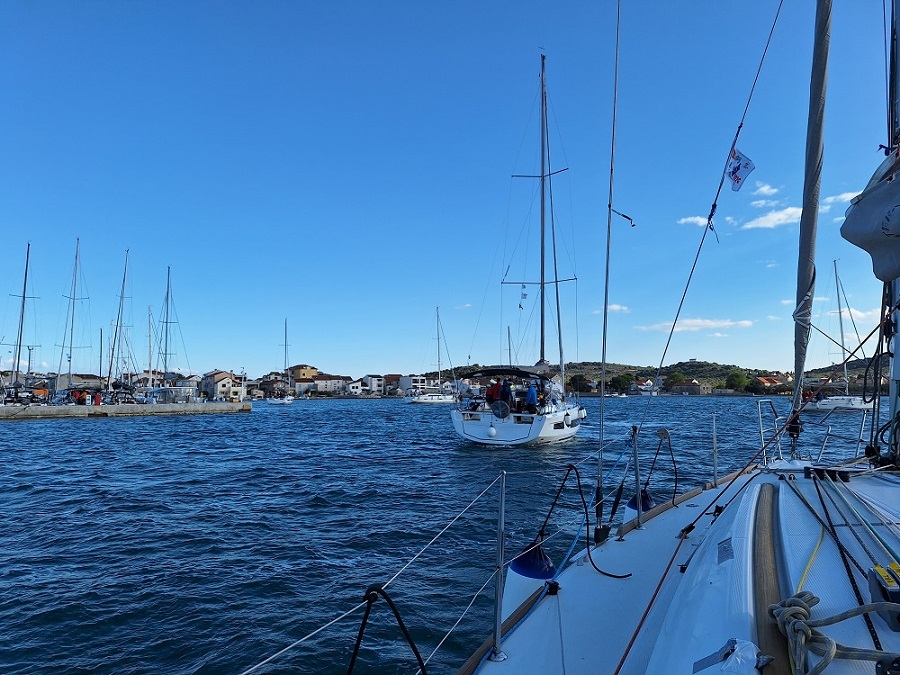
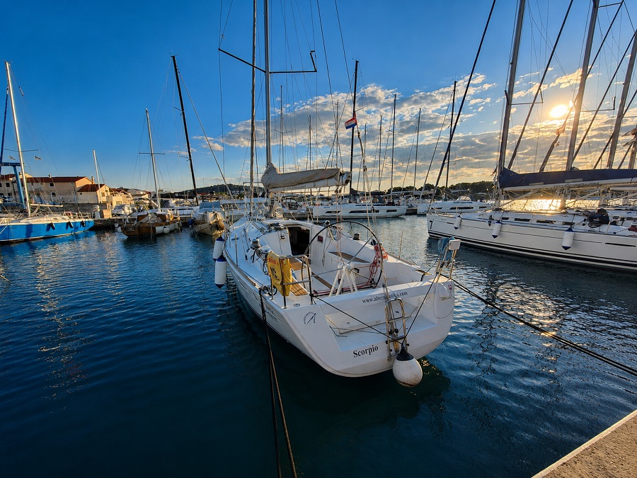
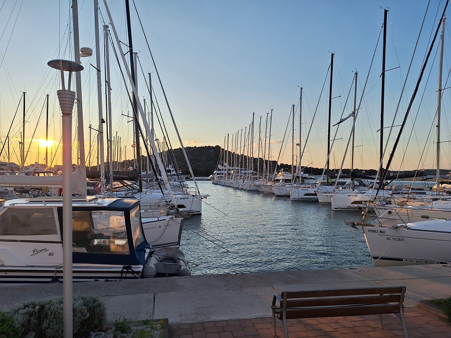
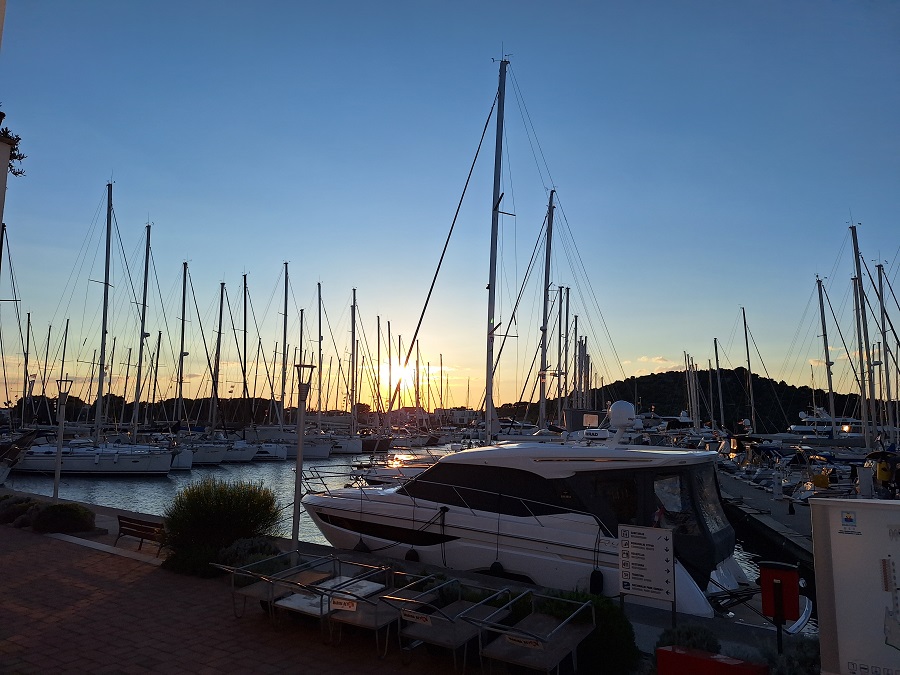
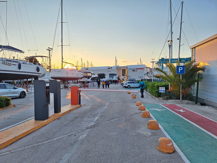
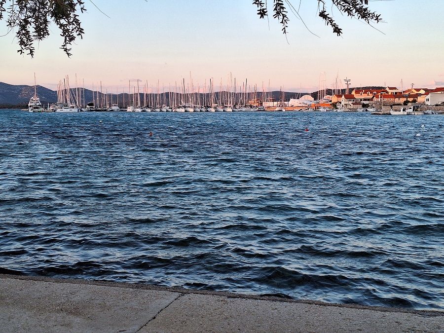
Betina (Murter)
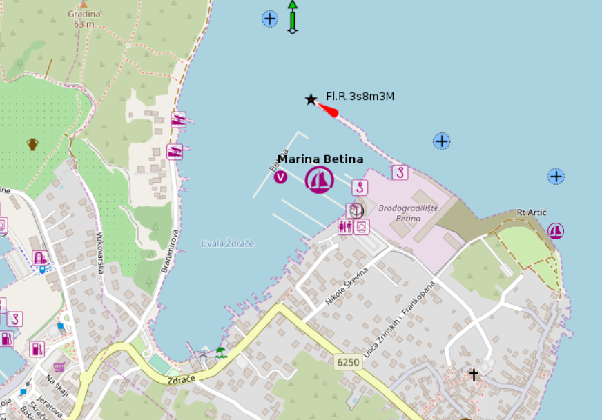
placeholder
- Shelter: placeholder
- Berthing: marina berth
- Depth impression: marina depths
- Nice to know:
- Watch out for:
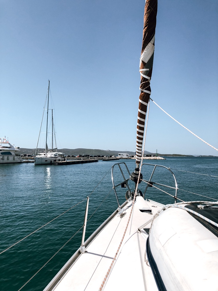
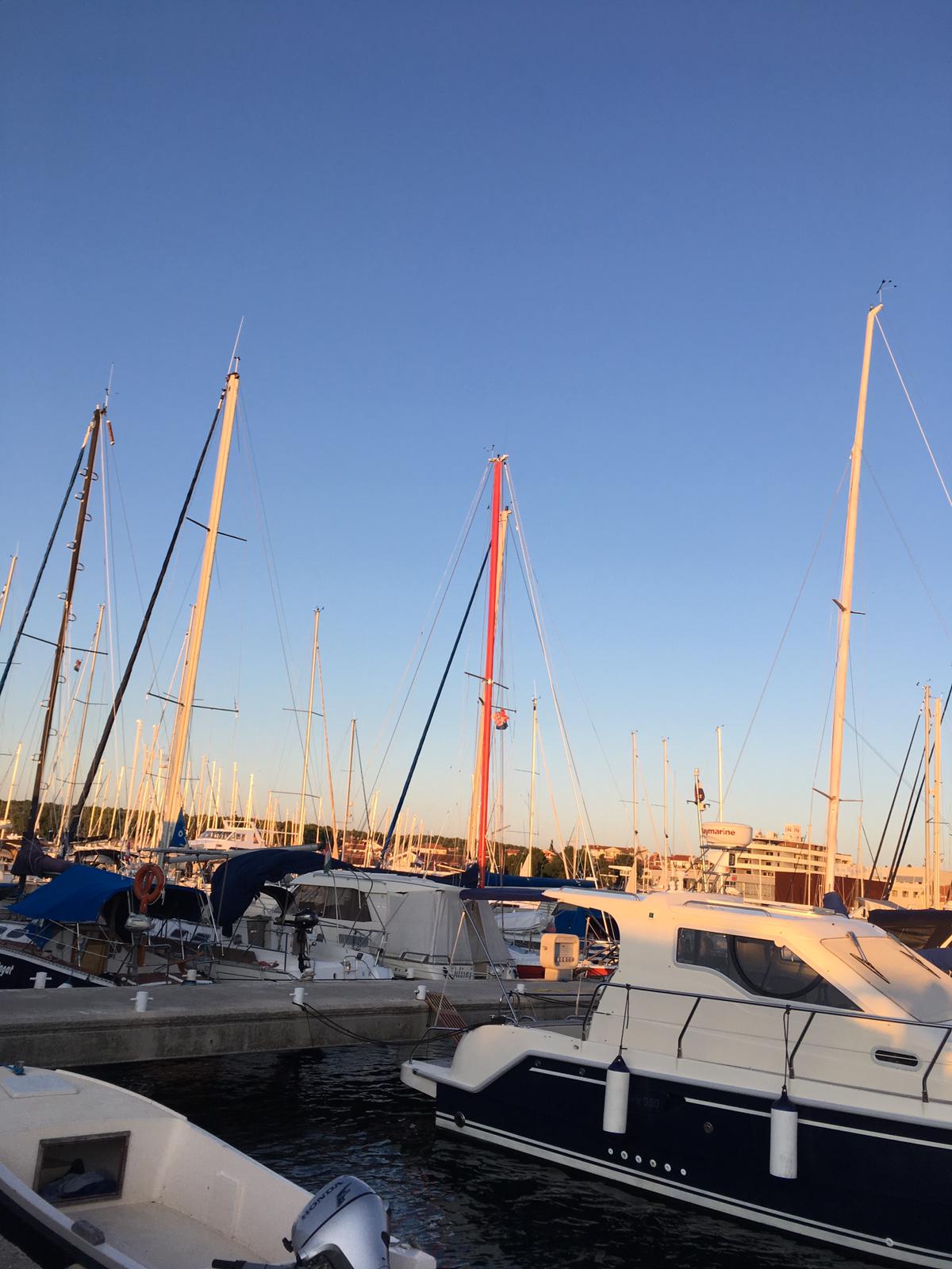
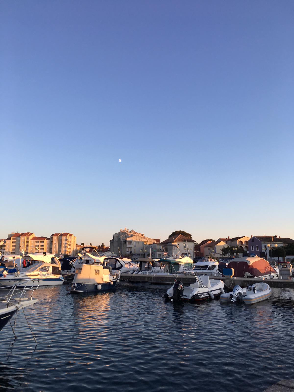
Biograd
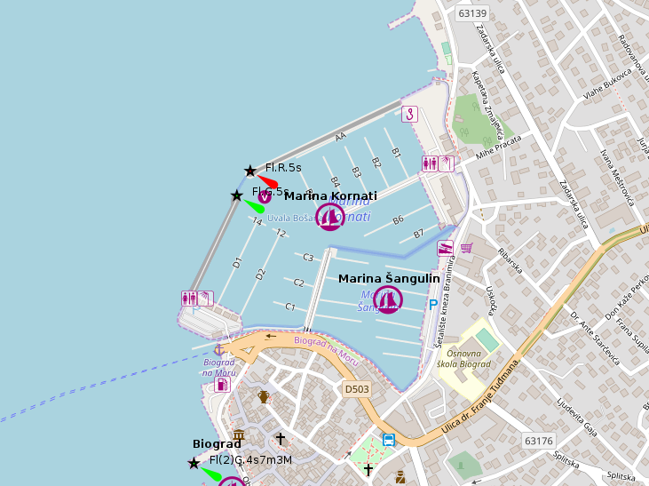
placeholder
- Shelter: placeholder
- Berthing: marina berth
- Depth impression: marina depths
- Nice to know:
- Watch out for:
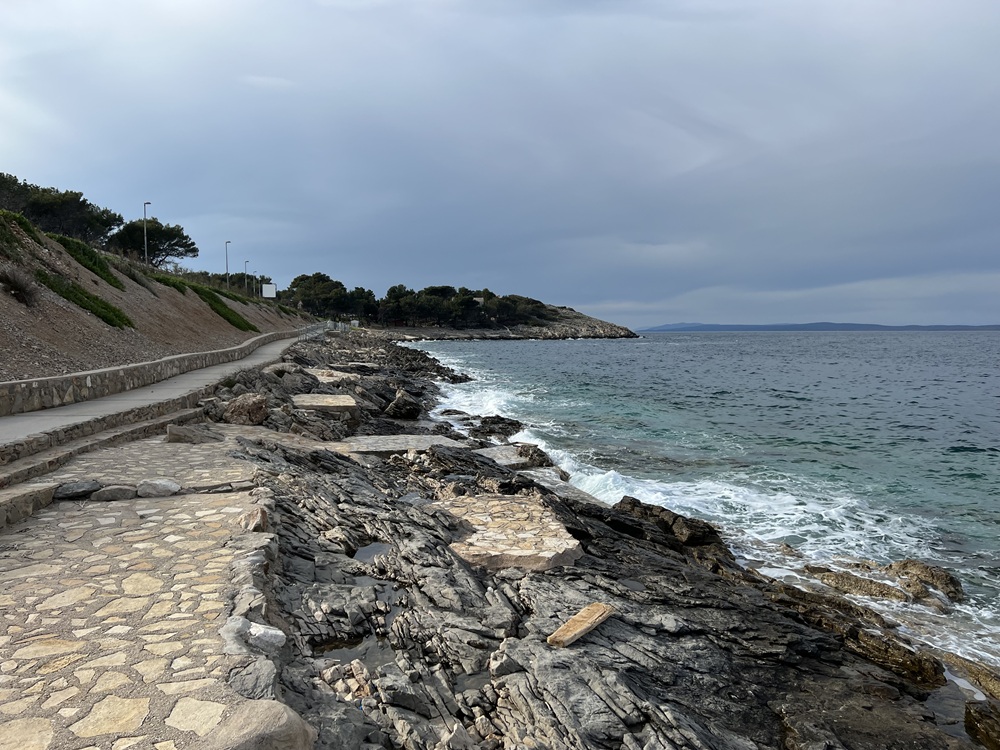
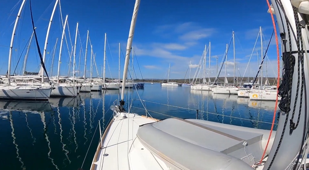
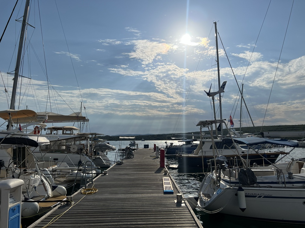
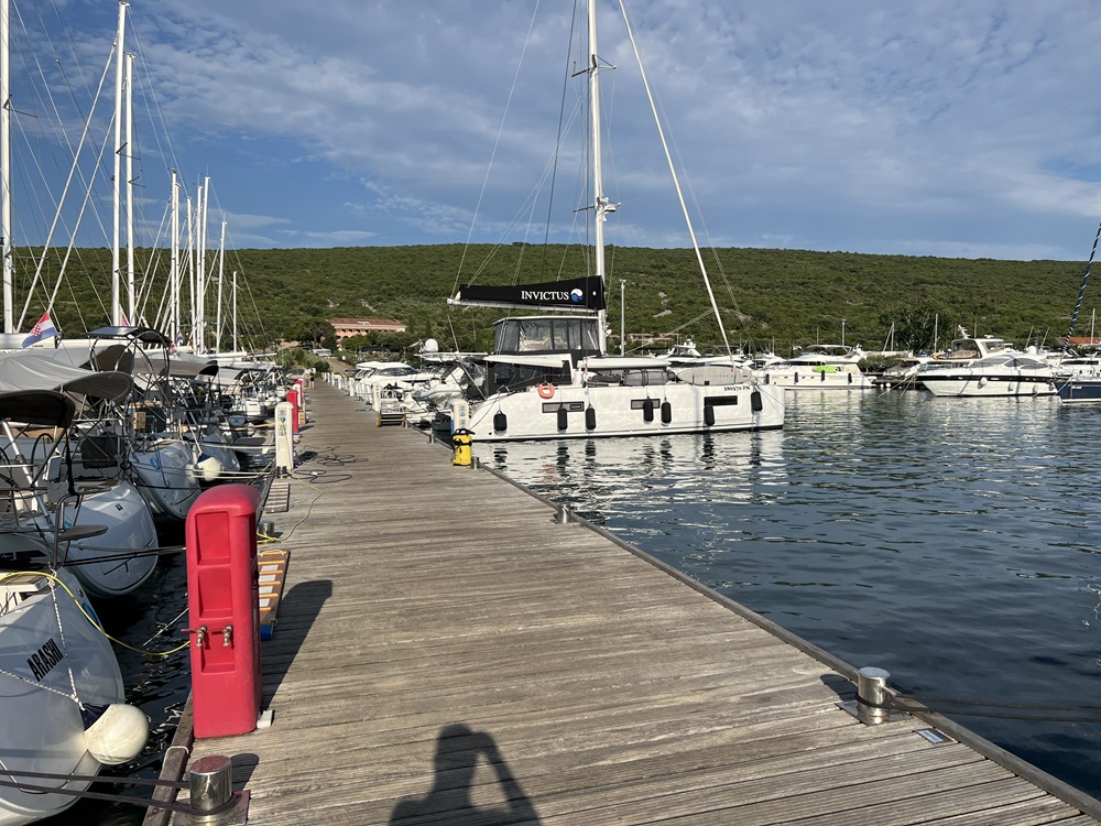
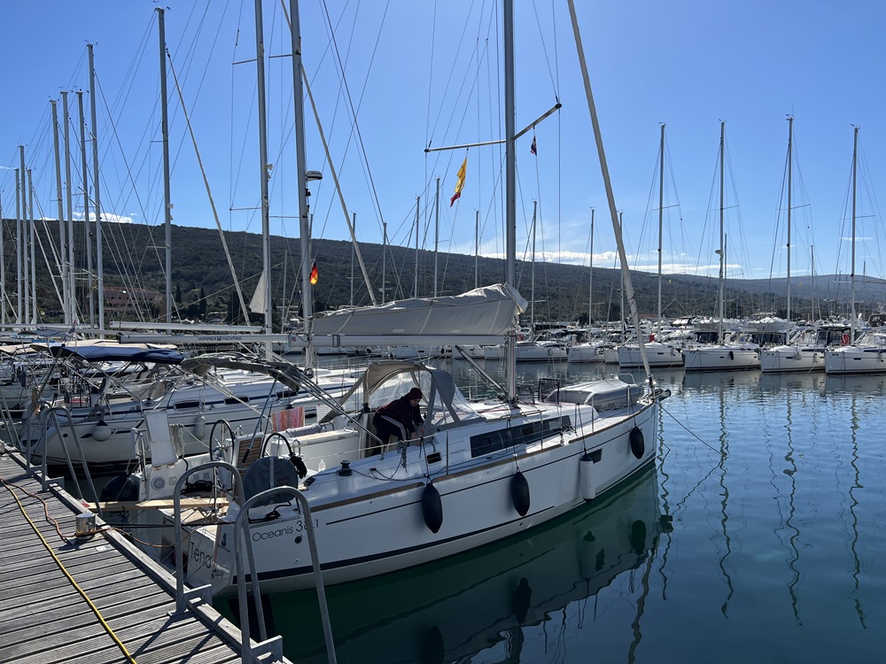
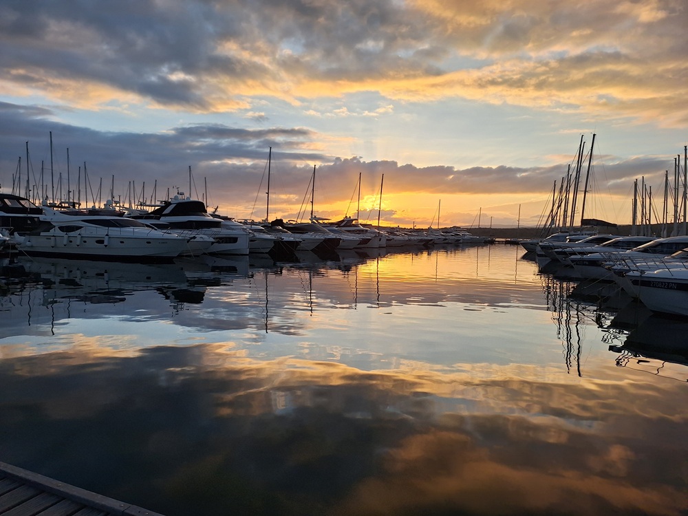
Impressions
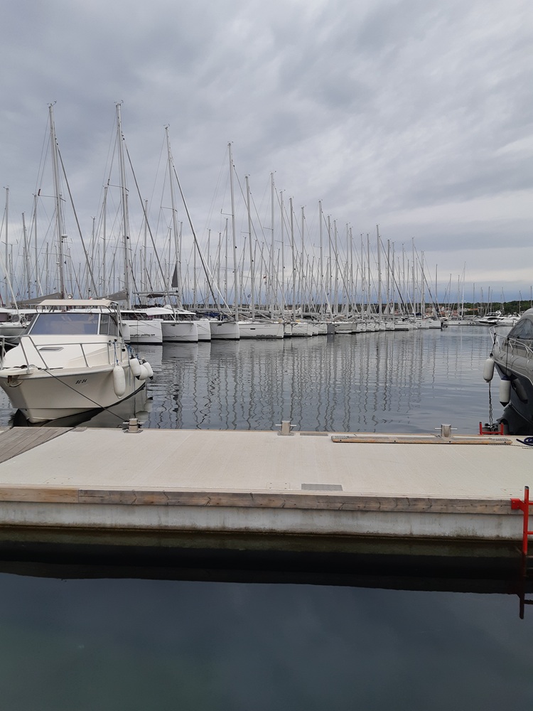
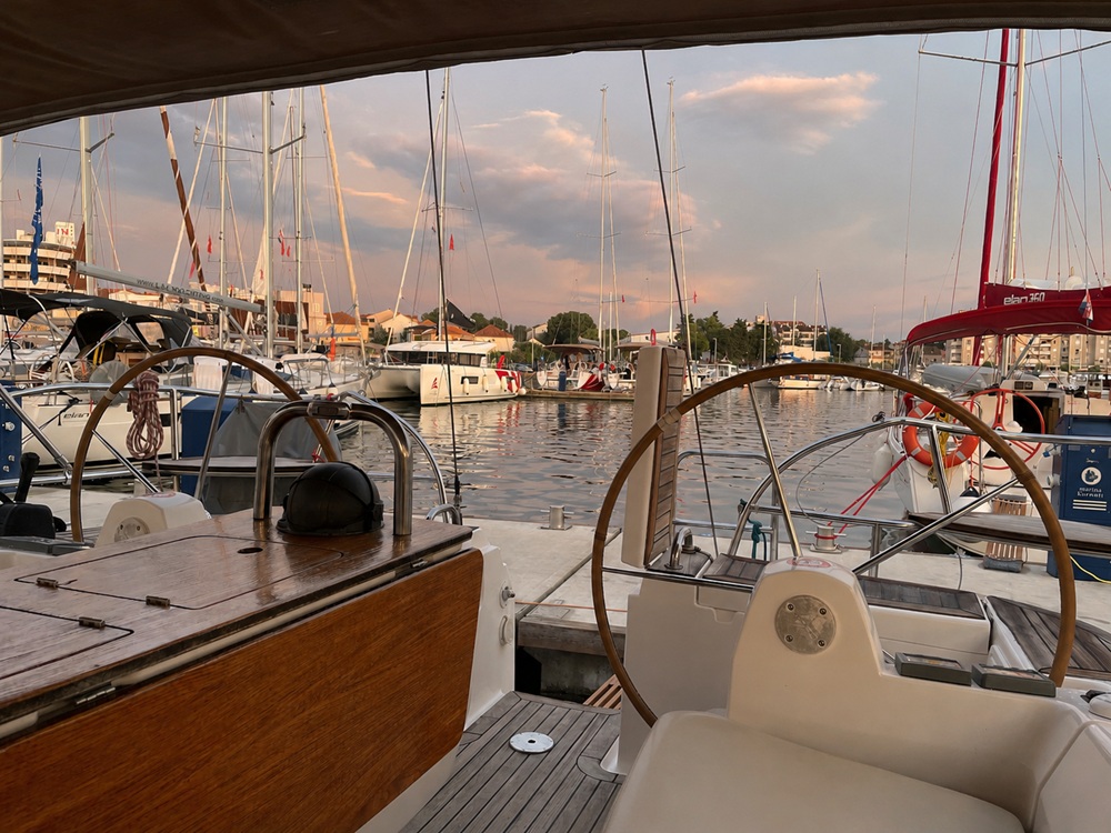
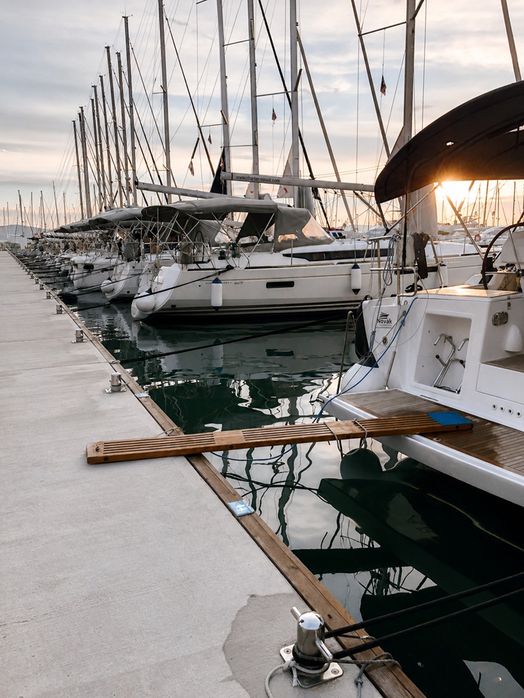
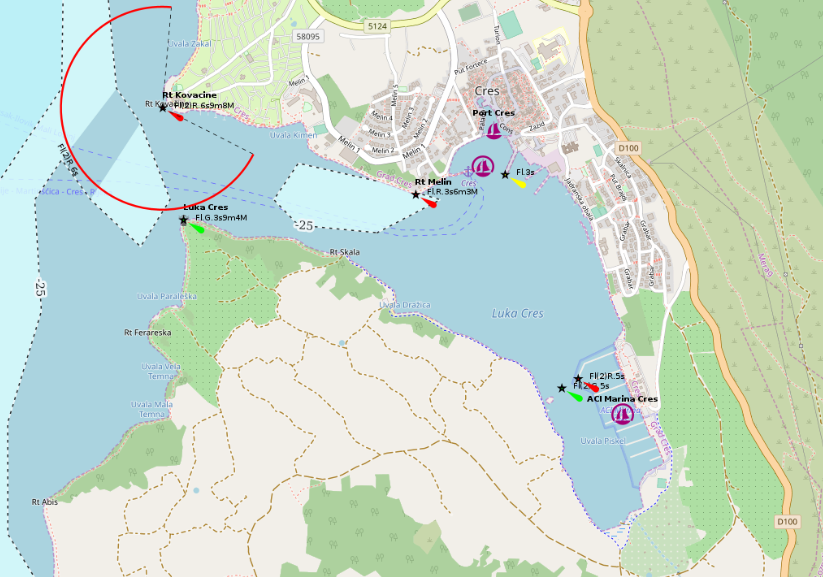
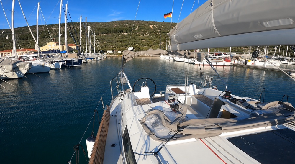
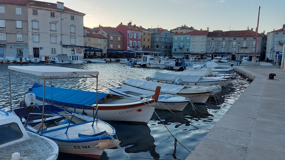
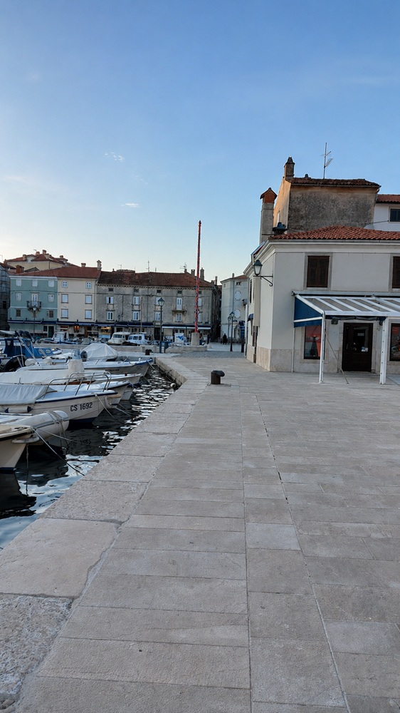
Cres
placeholder
- Shelter: placeholder
- Berthing: marina berth
- Depth impression: marina depths
- Nice to know:
- Watch out for:
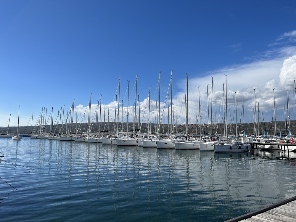
Impressions
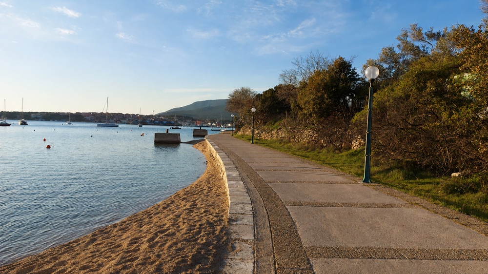
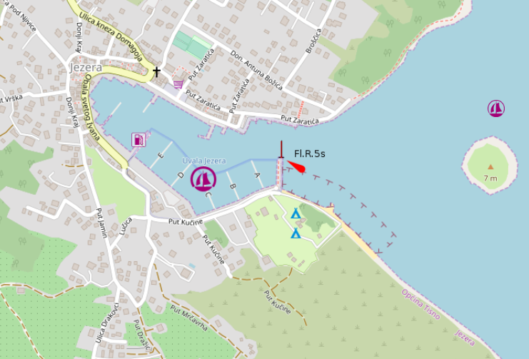
Jezera (Murter)
placeholder
- Shelter: placeholder
- Berthing: marina berth
- Depth impression: marina depths
- Nice to know:
- Watch out for:
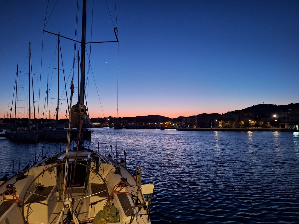
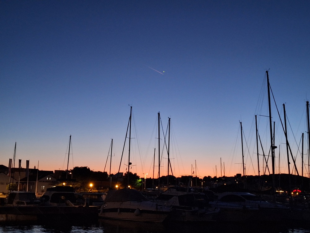
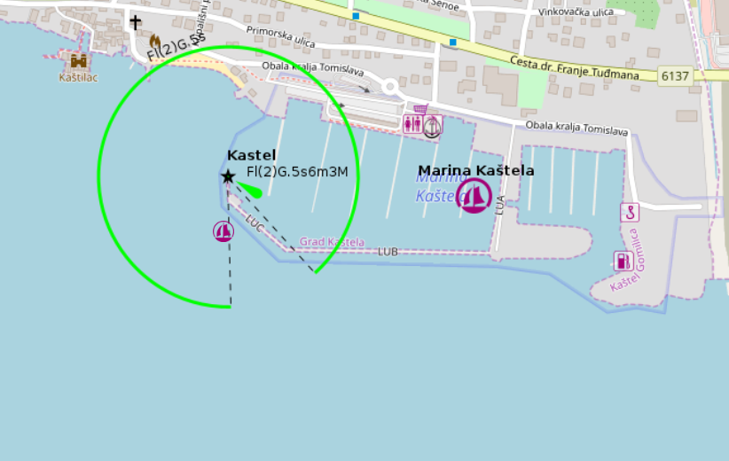
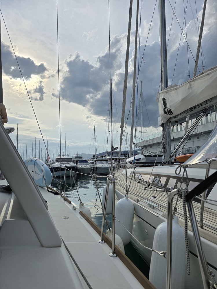
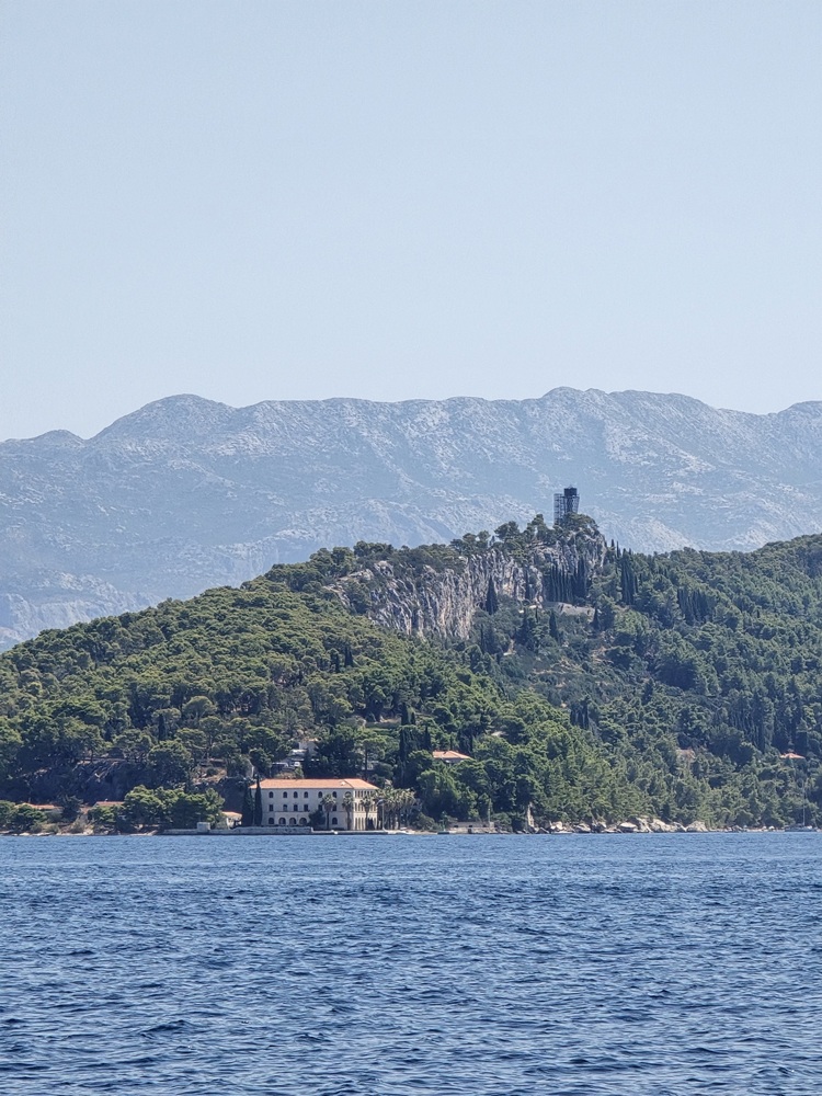
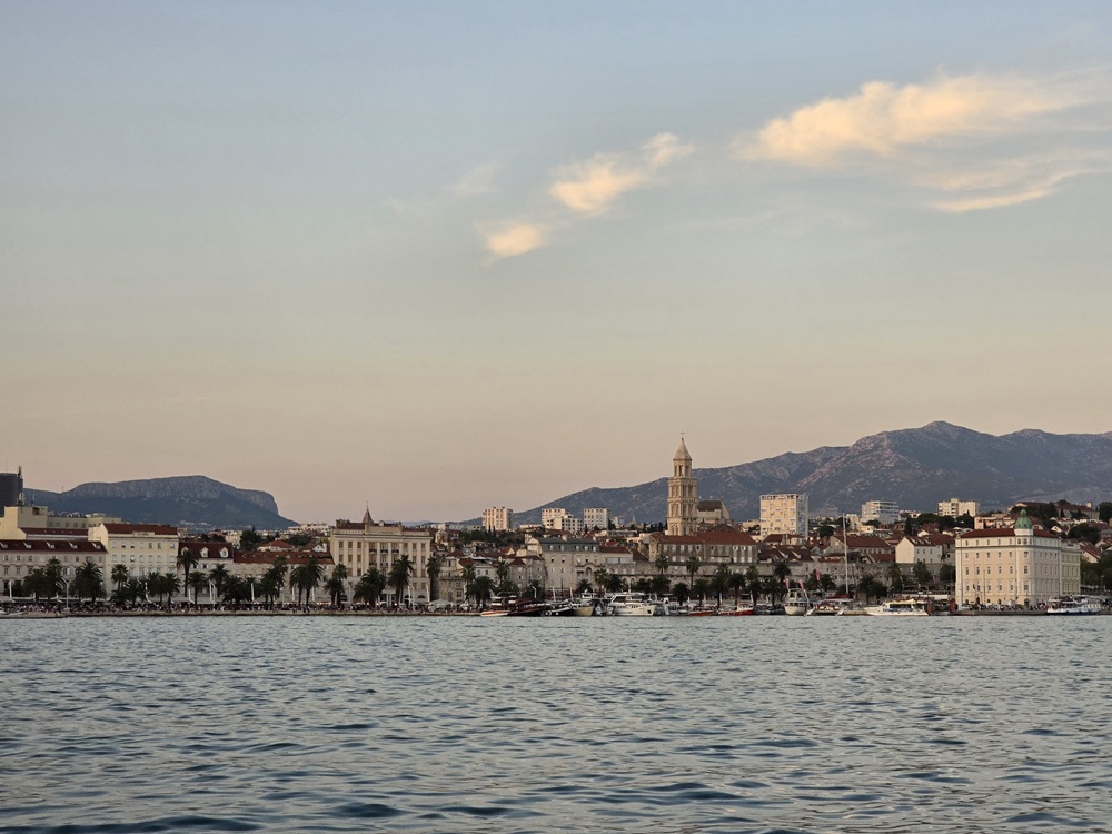
Kaštel Gomilica (Split)
placeholder
- Shelter: placeholder
- Berthing: marina berth
- Depth impression: marina depths
- Nice to know:
- Watch out for:
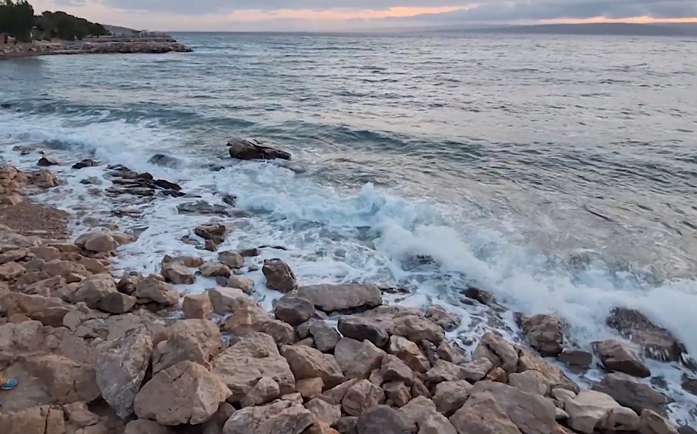
Impressions
Lignano
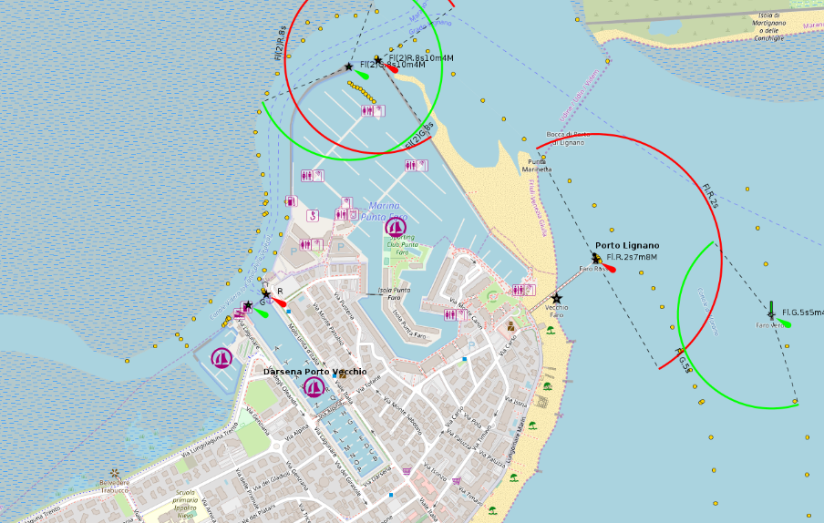
placeholder
- Shelter: placeholder
- Berthing: marina berth
- Depth impression: marina depths
- Nice to know:
- Watch out for:
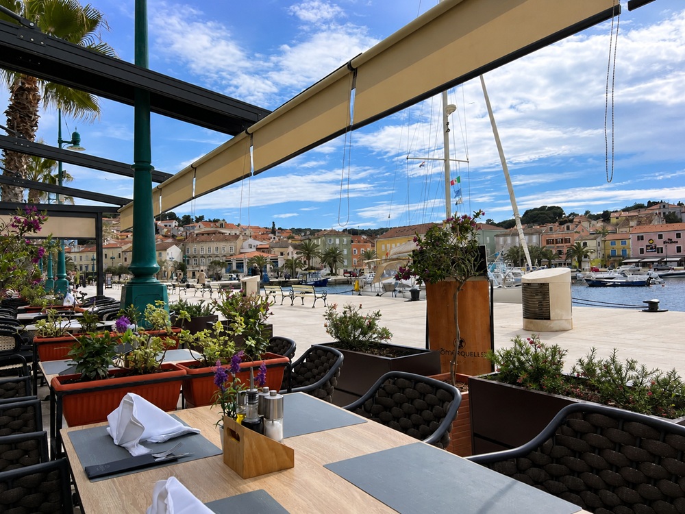
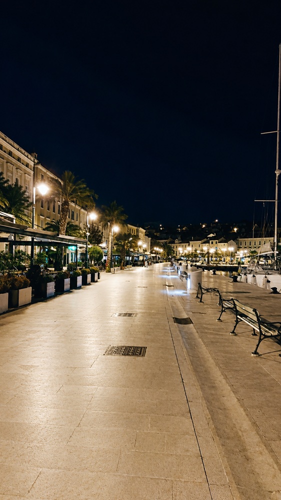
Mali Lošinj

placeholder
- Shelter: placeholder
- Berthing: marina berth
- Depth impression: marina depths
- Nice to know:
- Watch out for:
Impressions
Palmižana (Sv Klement)
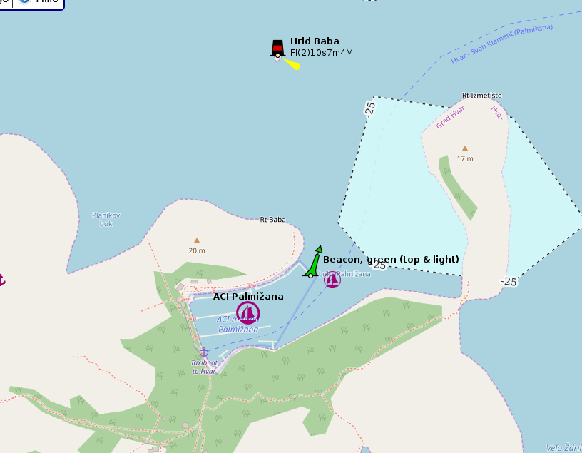
placeholder
- Shelter: placeholder
- Berthing: marina berth
- Depth impression: marina depths
- Nice to know:
- Watch out for:
Piškera (Kornat)

placeholder
- Shelter: placeholder
- Berthing: marina berth
- Depth impression: marina depths
- Nice to know:
- Watch out for:
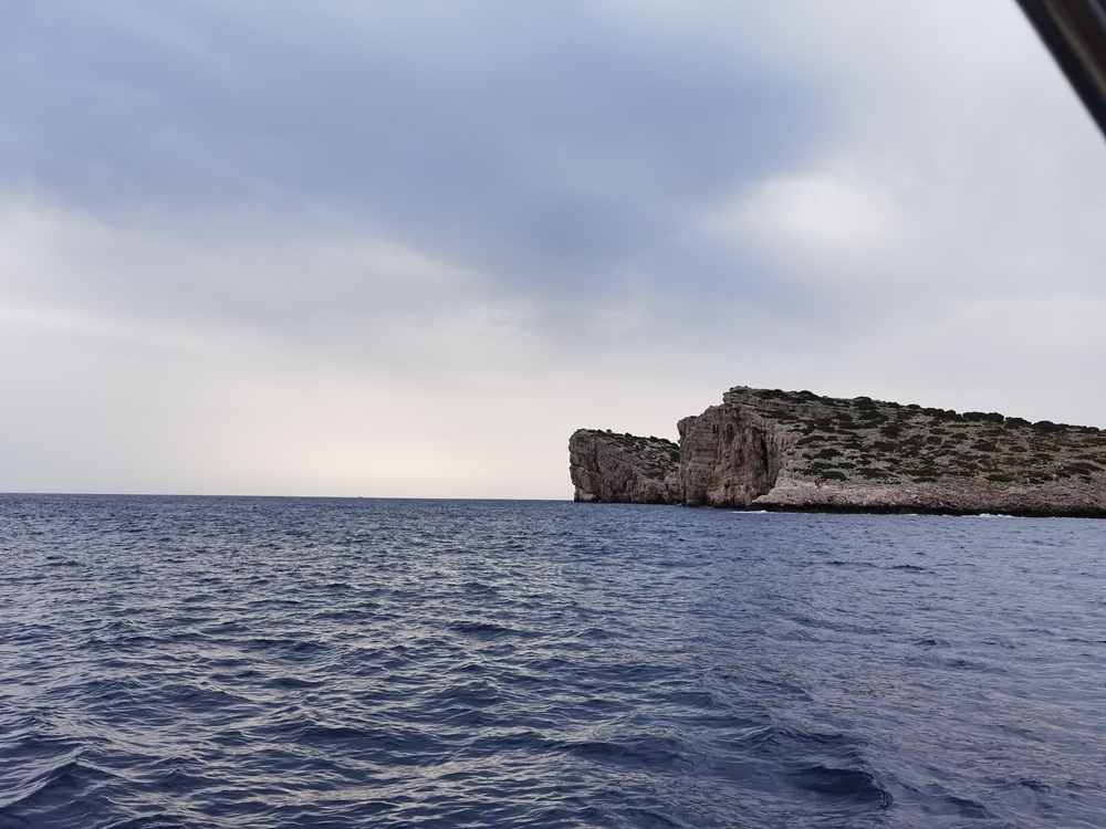
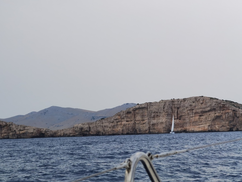
Impressions
Portorož
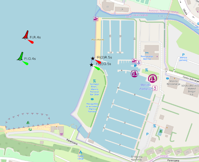
placeholder
- Shelter: placeholder
- Berthing: marina berth
- Depth impression: marina depths
- Nice to know:
- Watch out for:
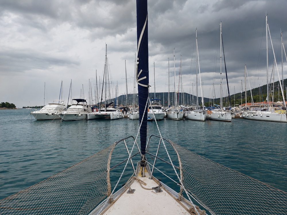
Punat (Krk)
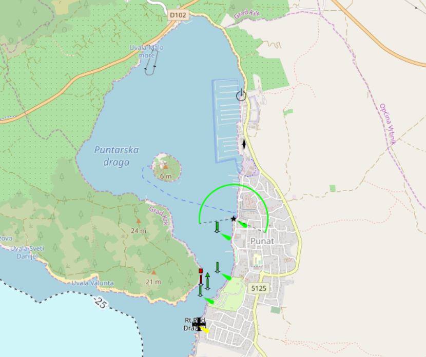
placeholder
- Shelter: placeholder
- Berthing: marina berth
- Depth impression: marina depths
- Nice to know:
- Watch out for:
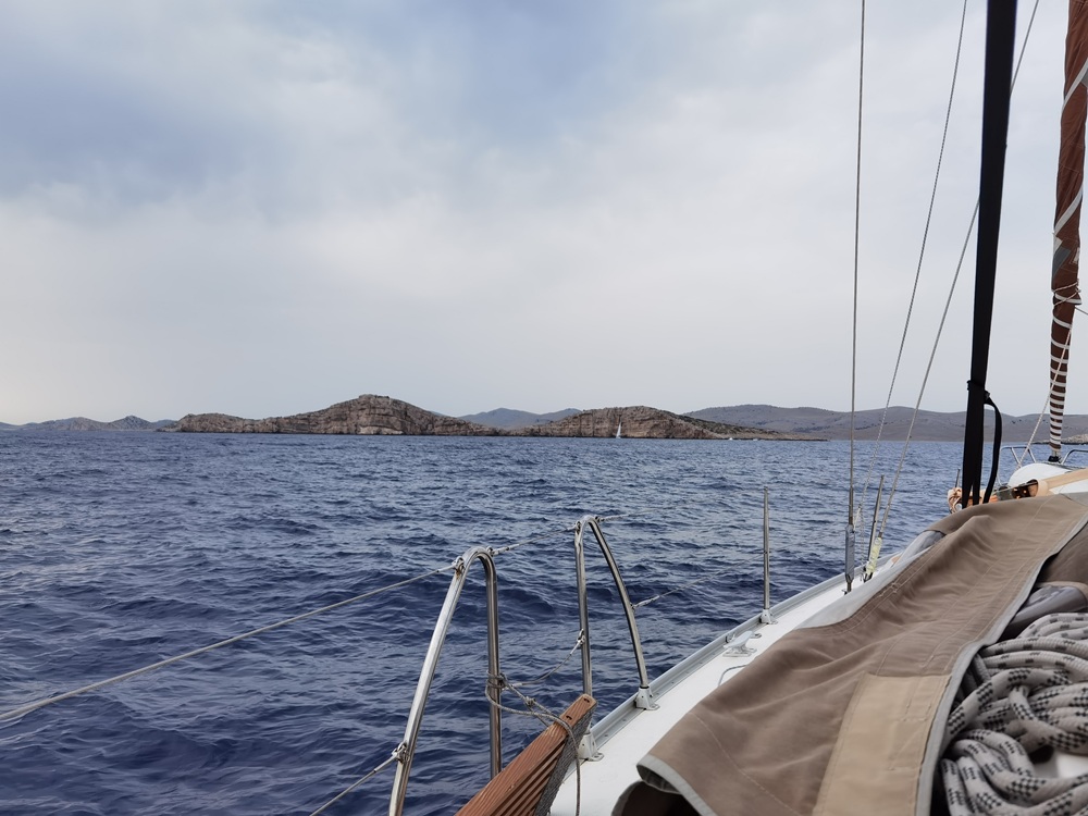
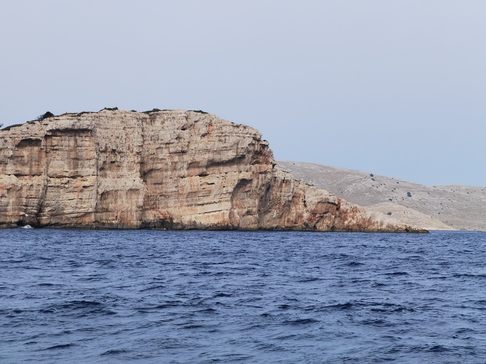
Impressions
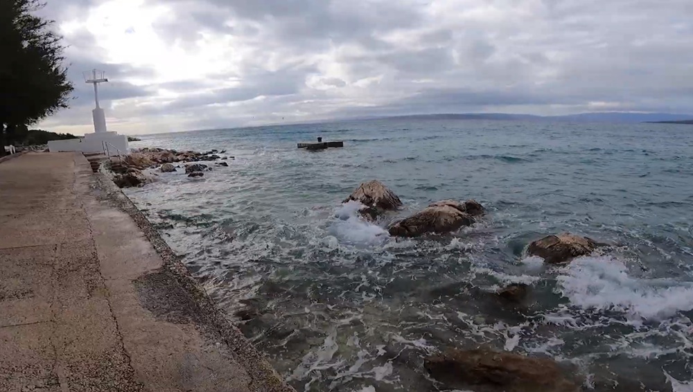
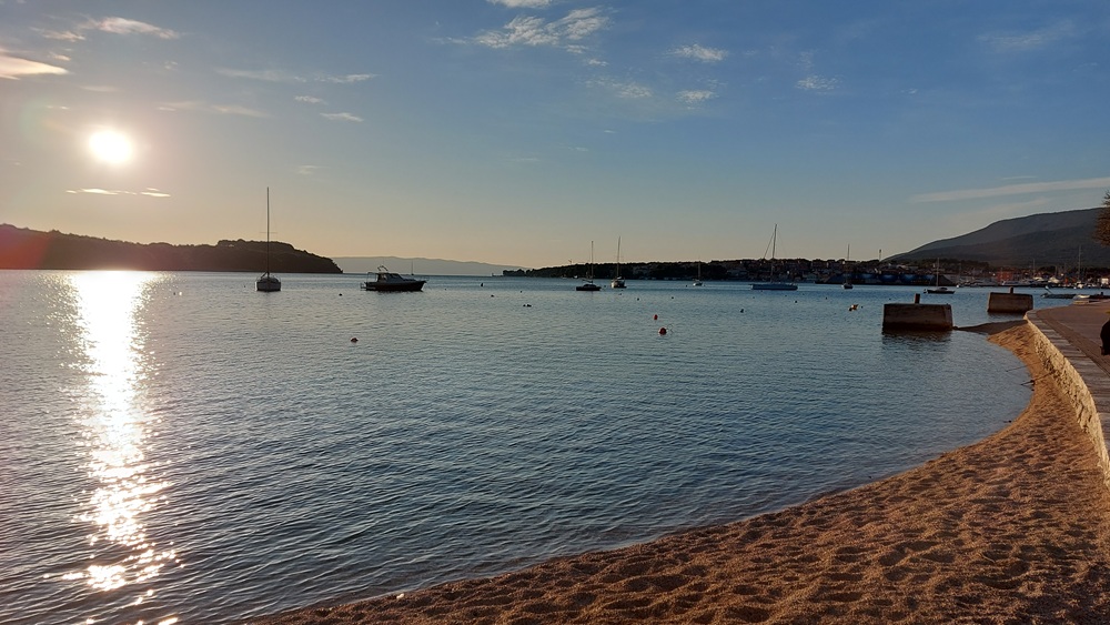
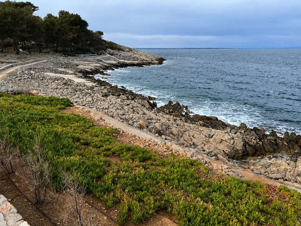
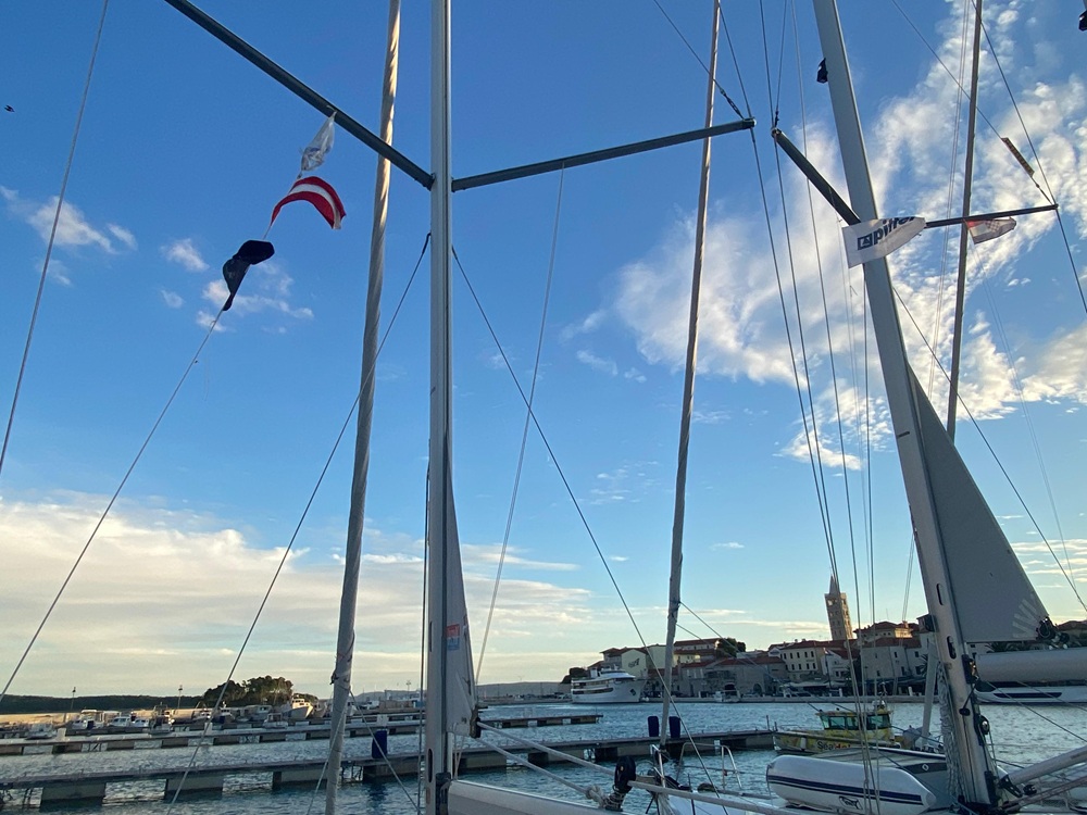
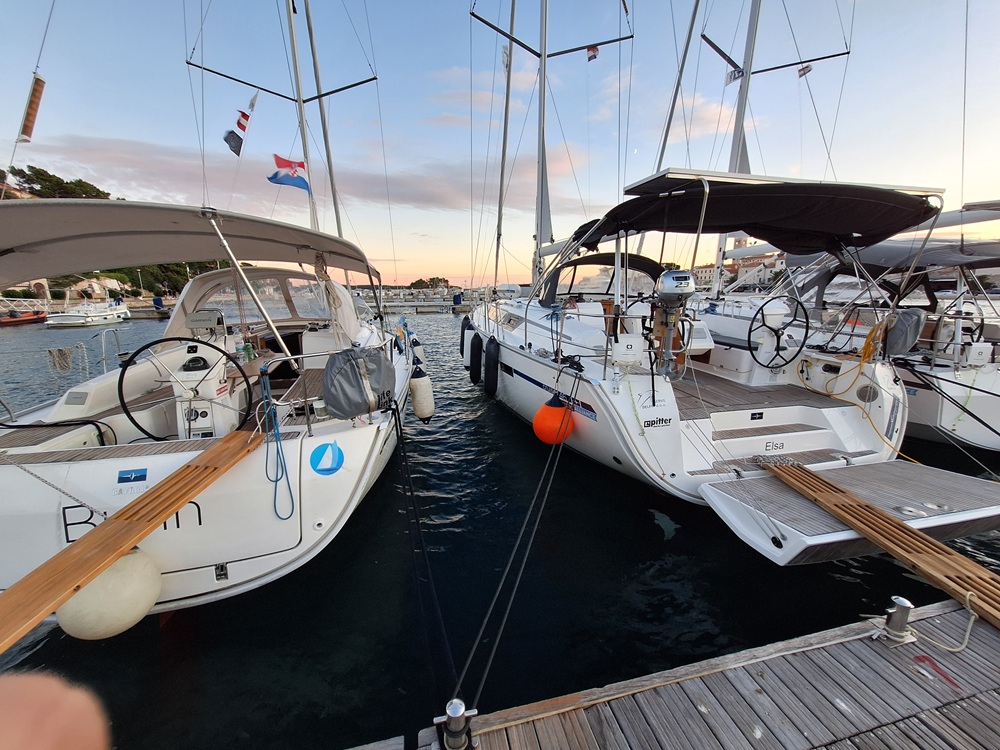
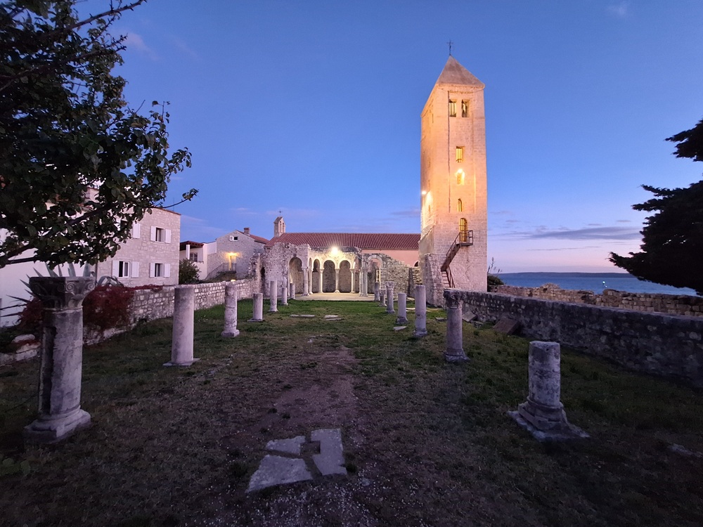
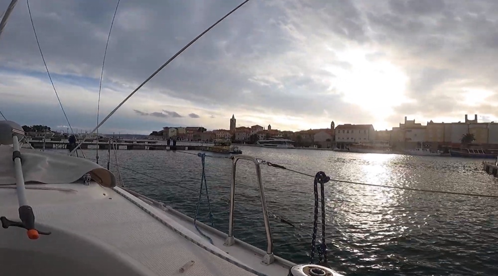
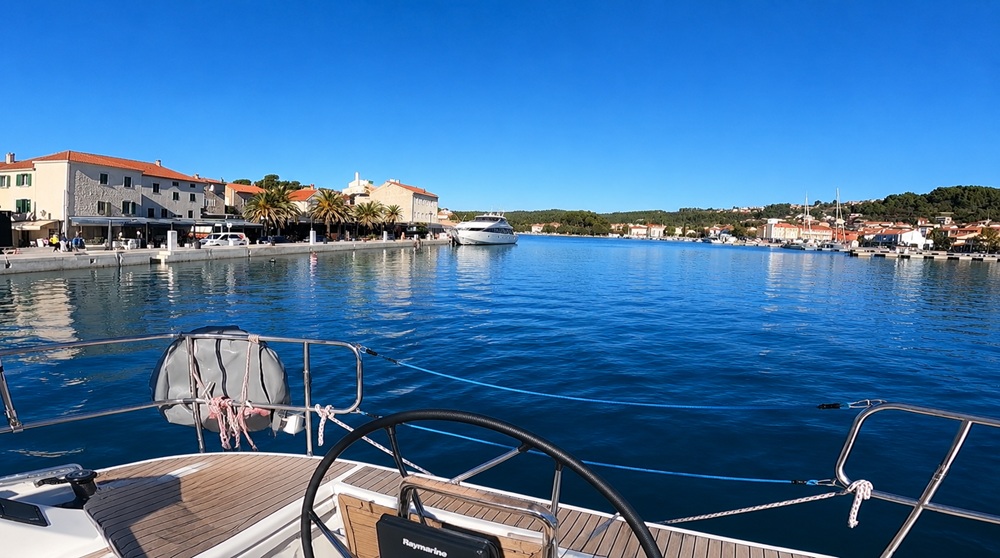
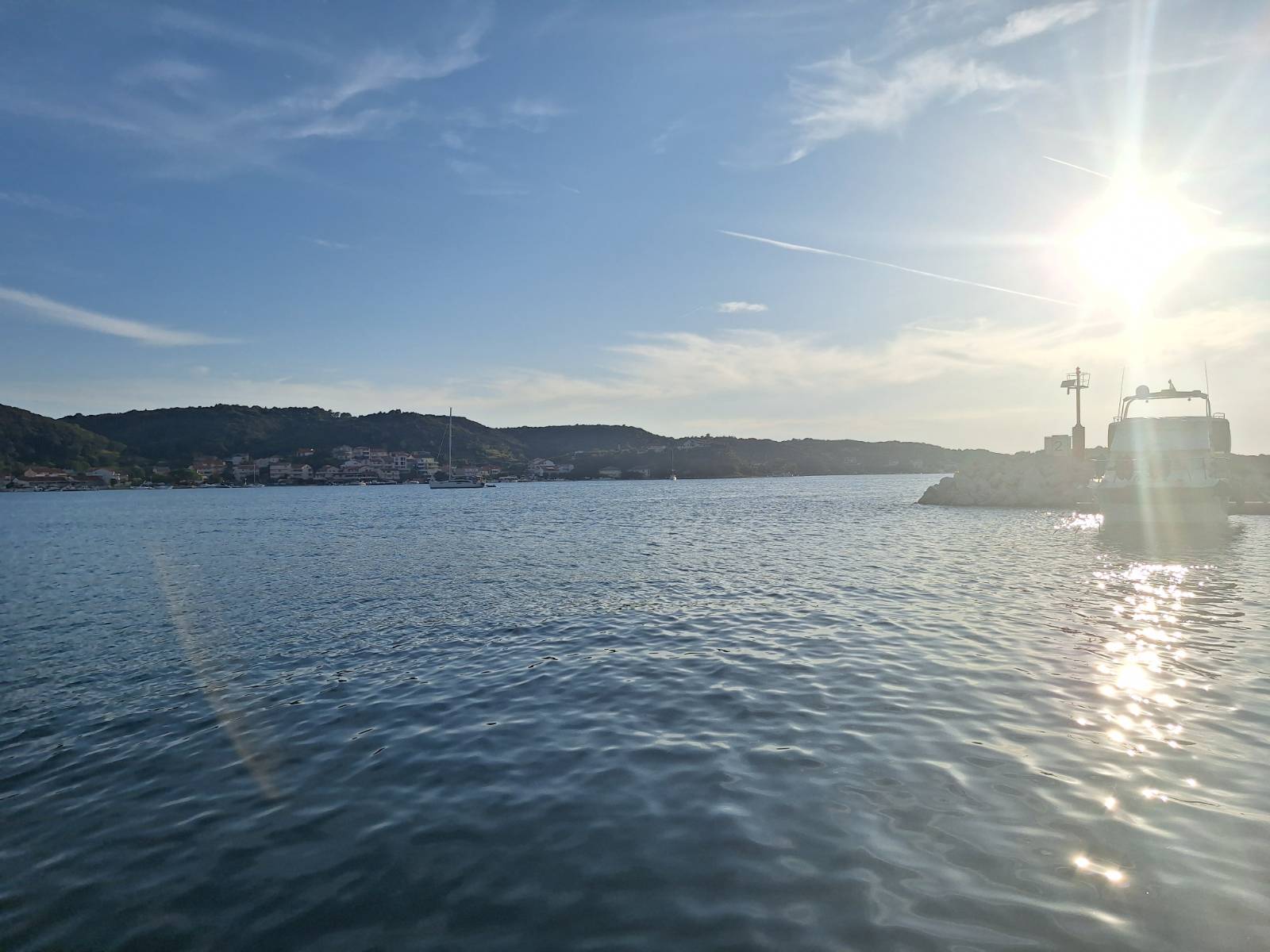
Rab
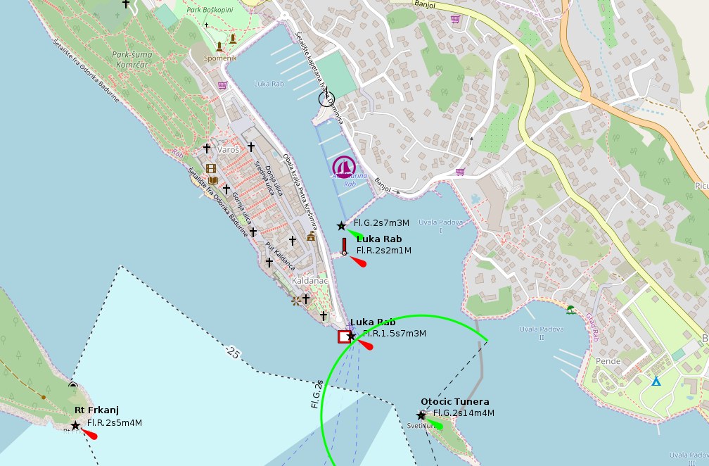
placeholder
- Shelter: placeholder
- Berthing: marina berth
- Depth impression: marina depths
- Nice to know:
- Watch out for:
Impressions
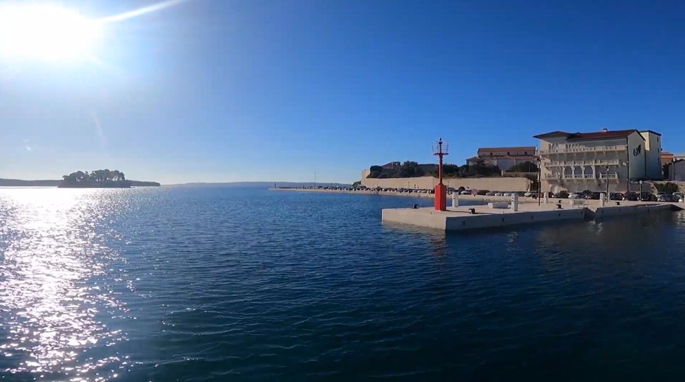
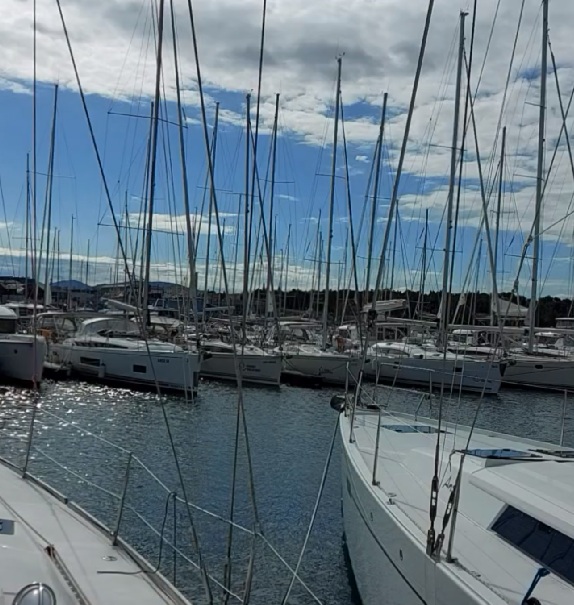
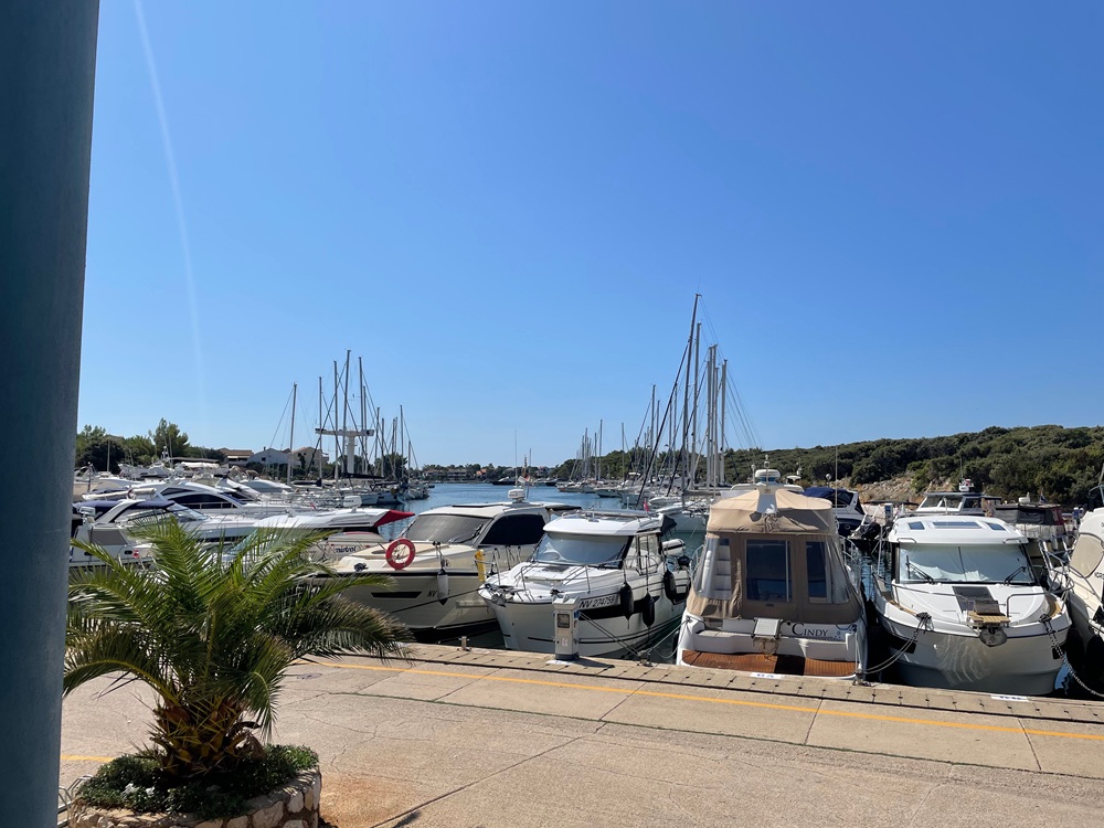
Šibenik
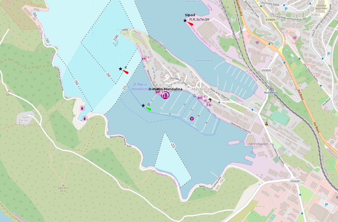
placeholder
- Shelter: placeholder
- Berthing: marina berth
- Depth impression: marina depths
- Nice to know:
- Watch out for:
Impressions
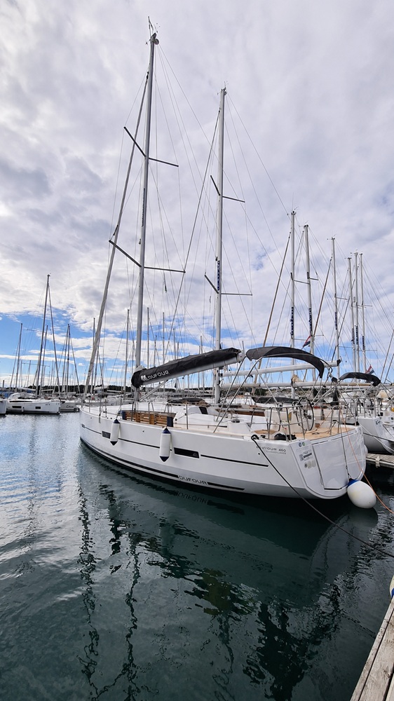
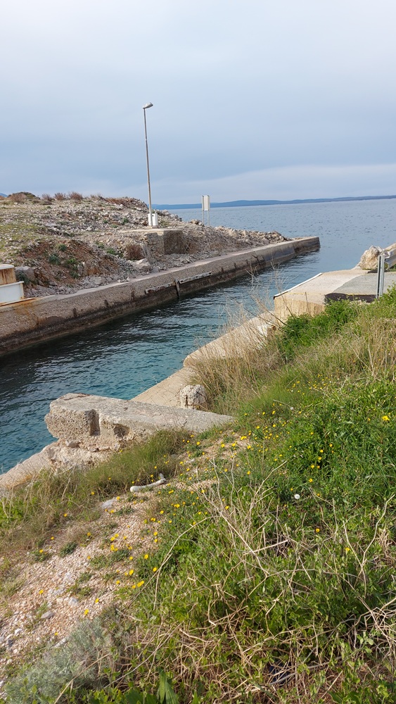
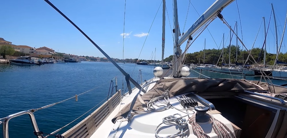
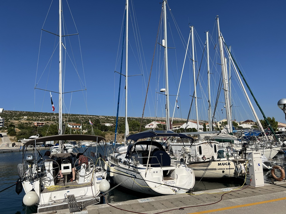
Šimuni (Pag)
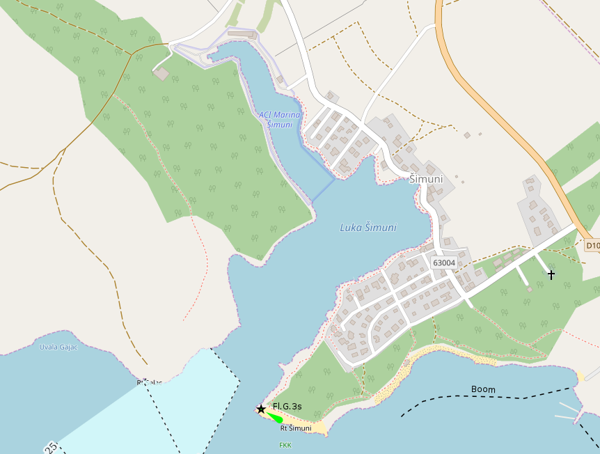
placeholder
- Shelter: placeholder
- Berthing: marina berth
- Depth impression: marina depths
- Nice to know:
- Watch out for:
Impressions
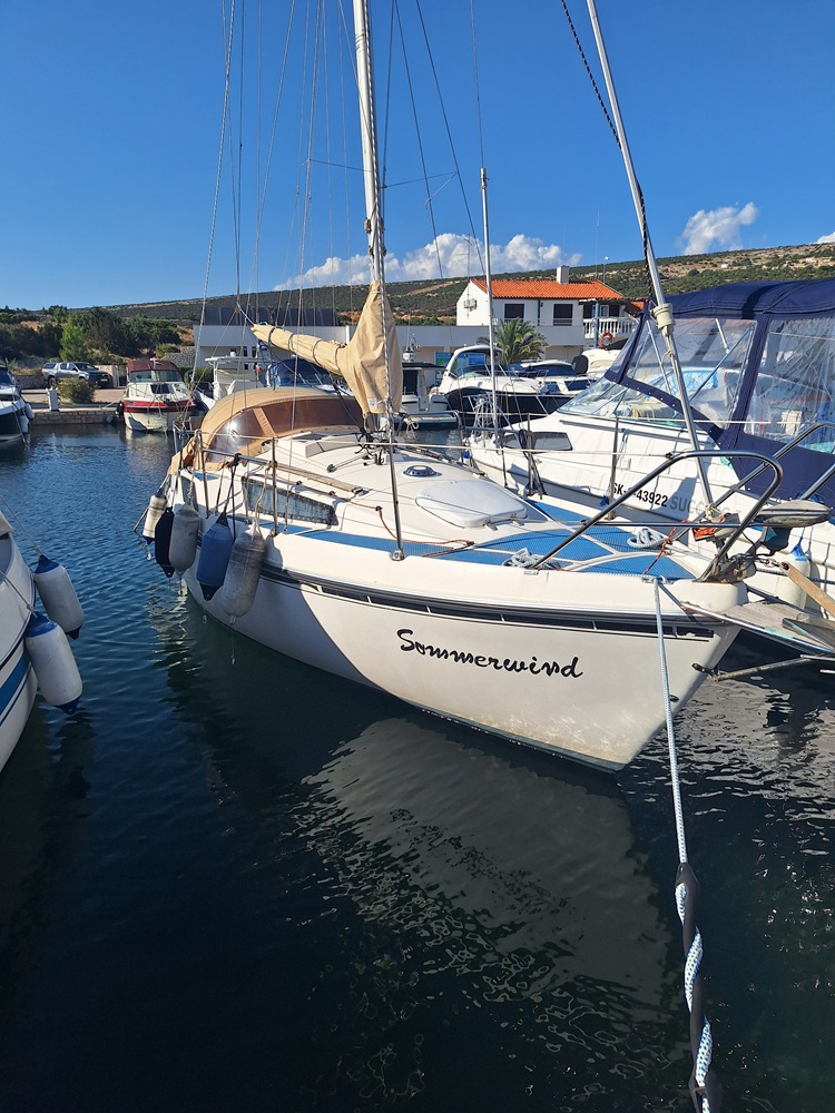
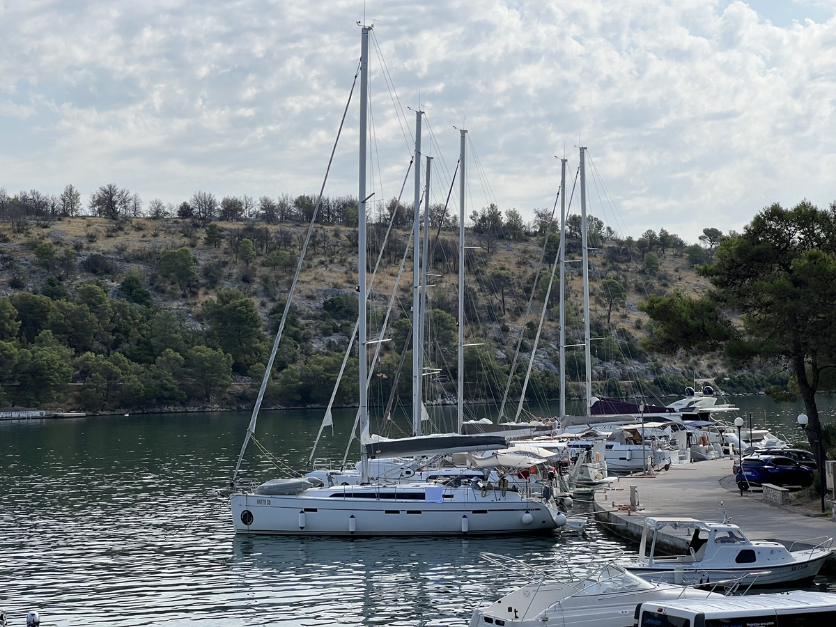
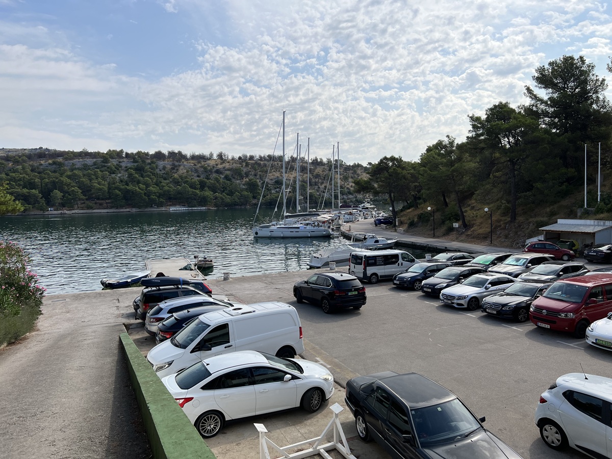
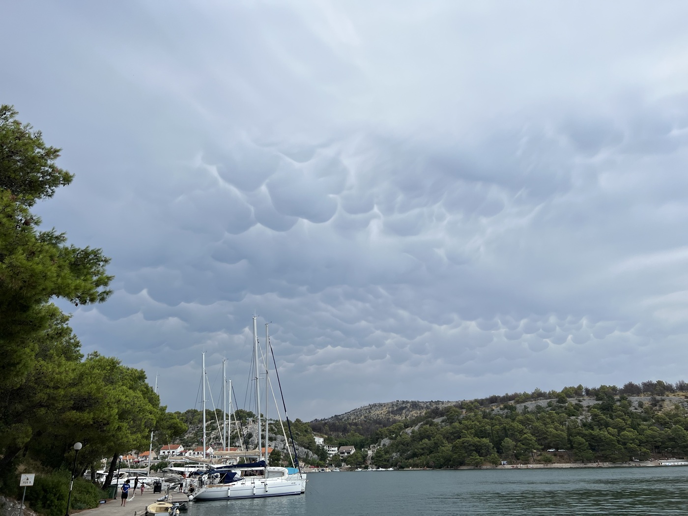
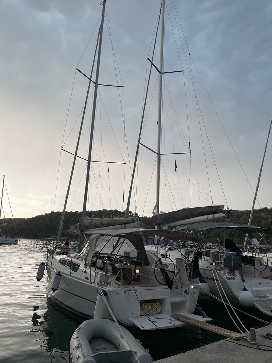
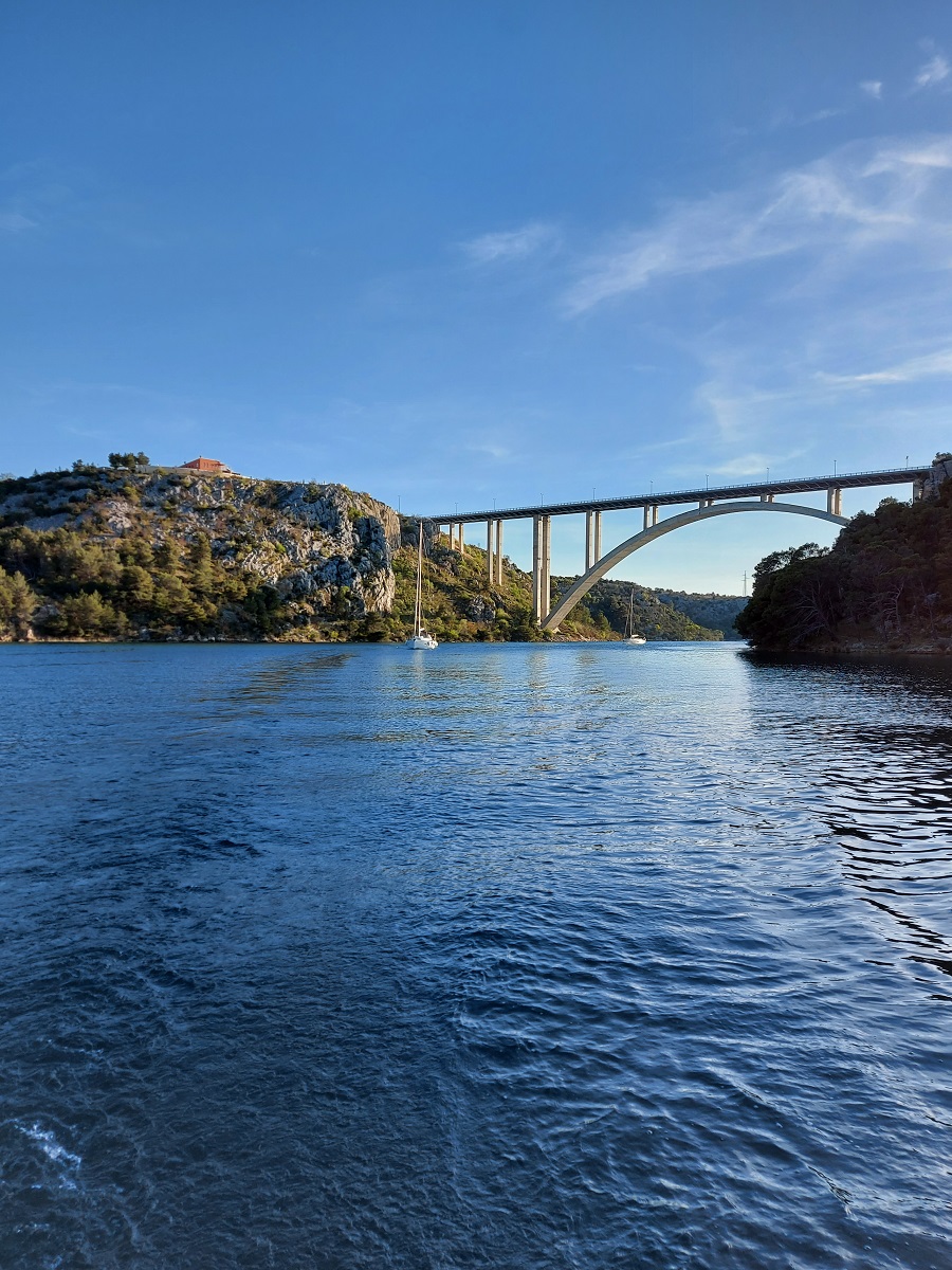
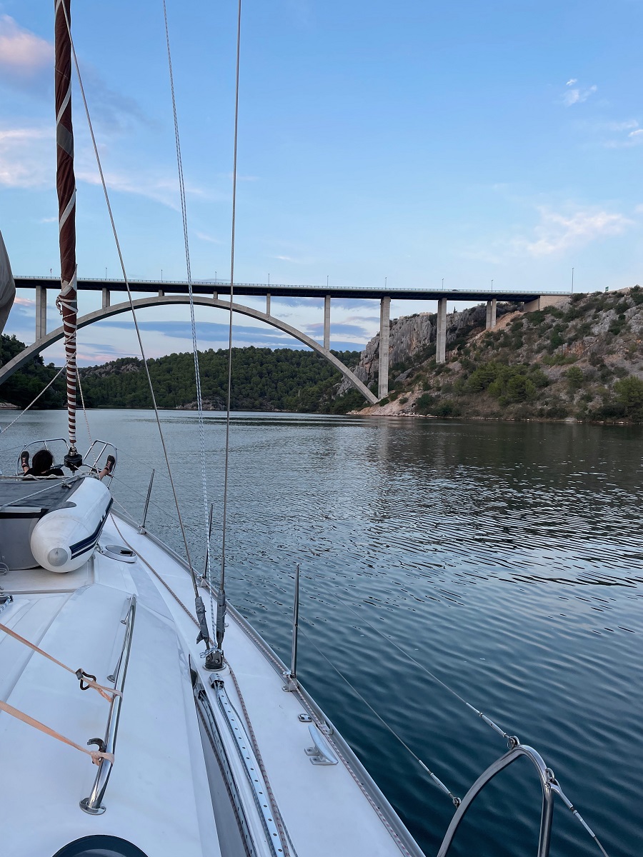
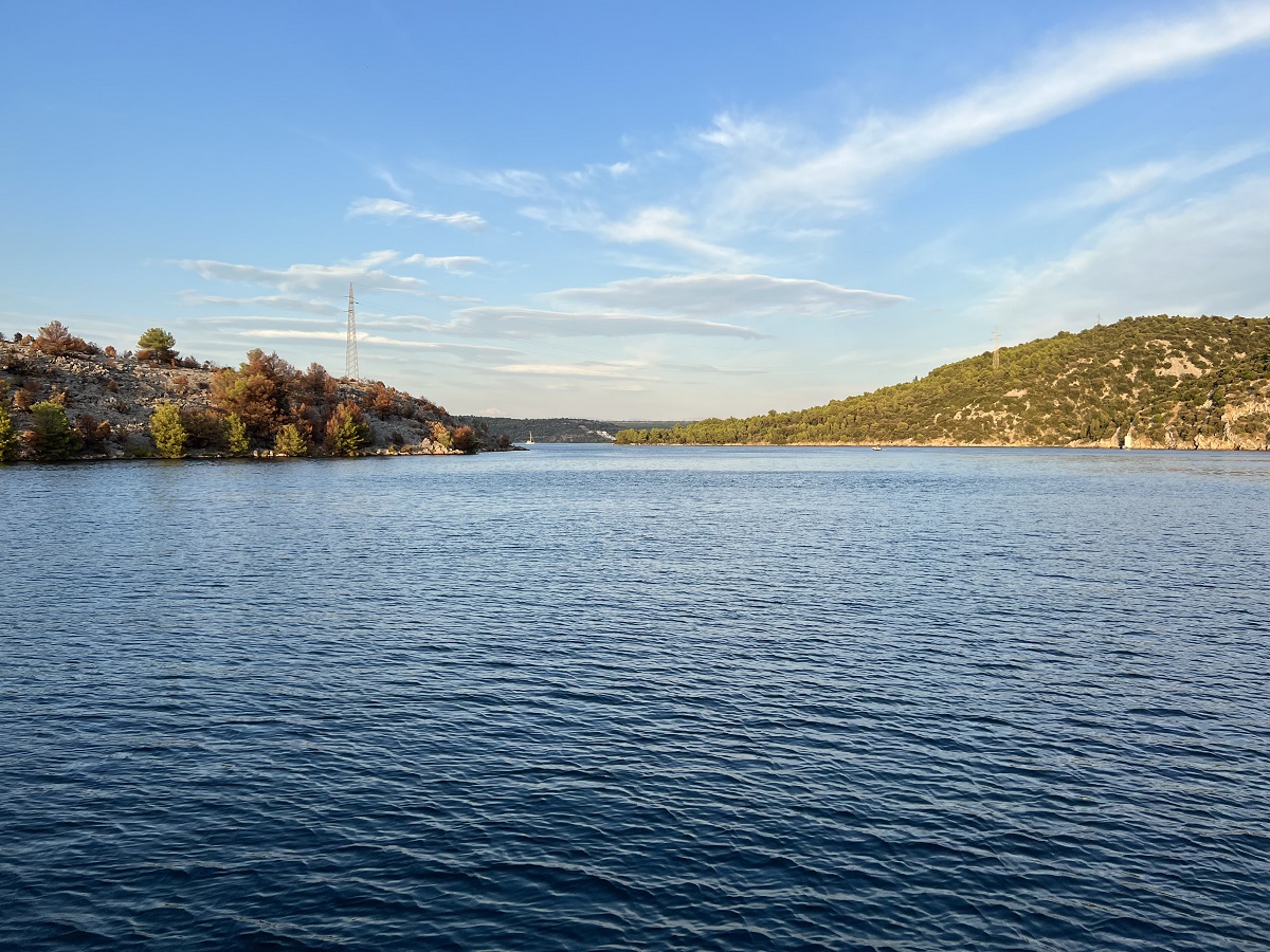
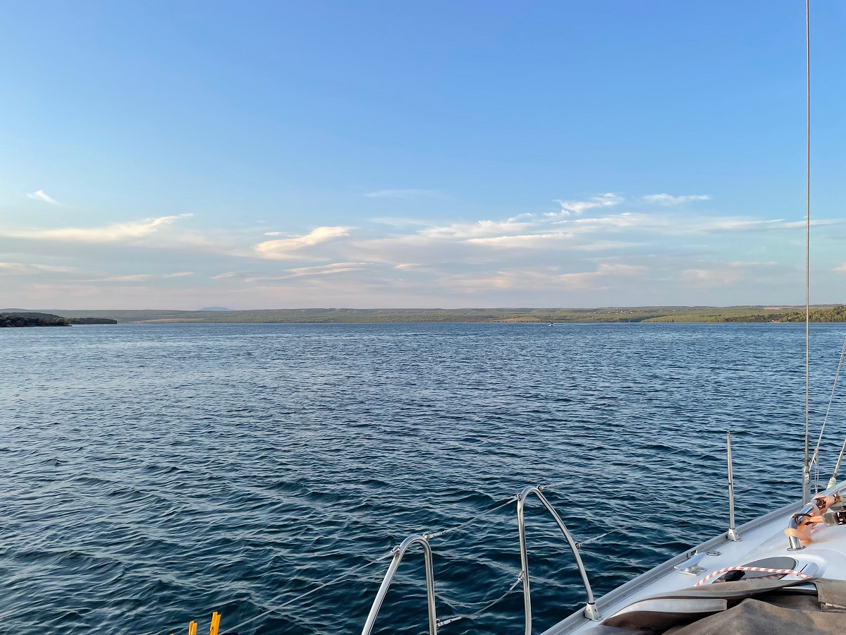
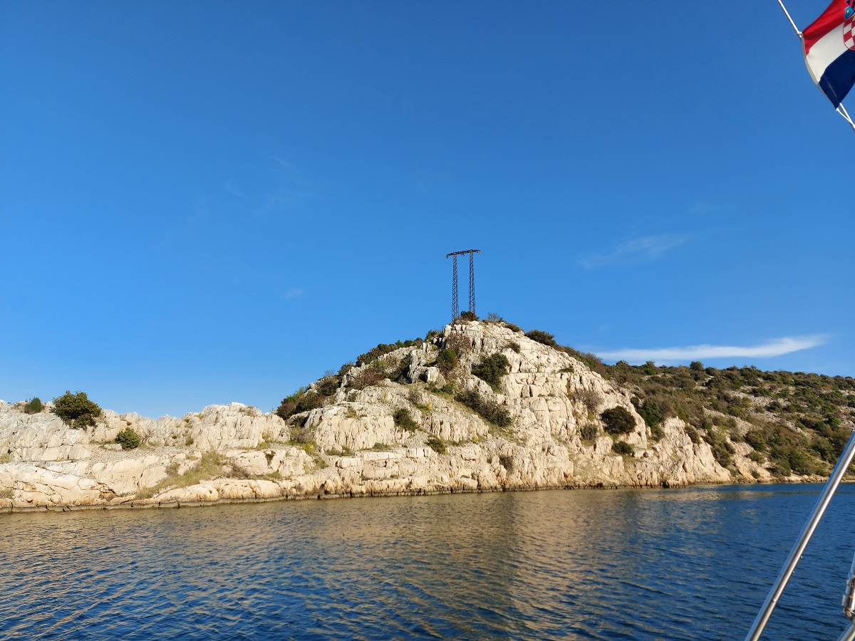
Skradin
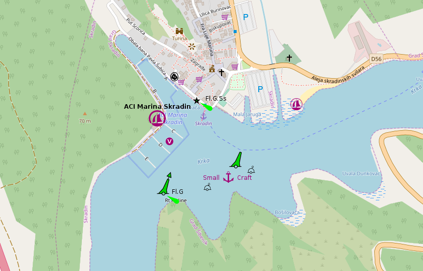
placeholder
- Shelter: placeholder
- Berthing: marina berth
- Depth impression: river marina depths
- Nice to know:
- Watch out for:
Impressions
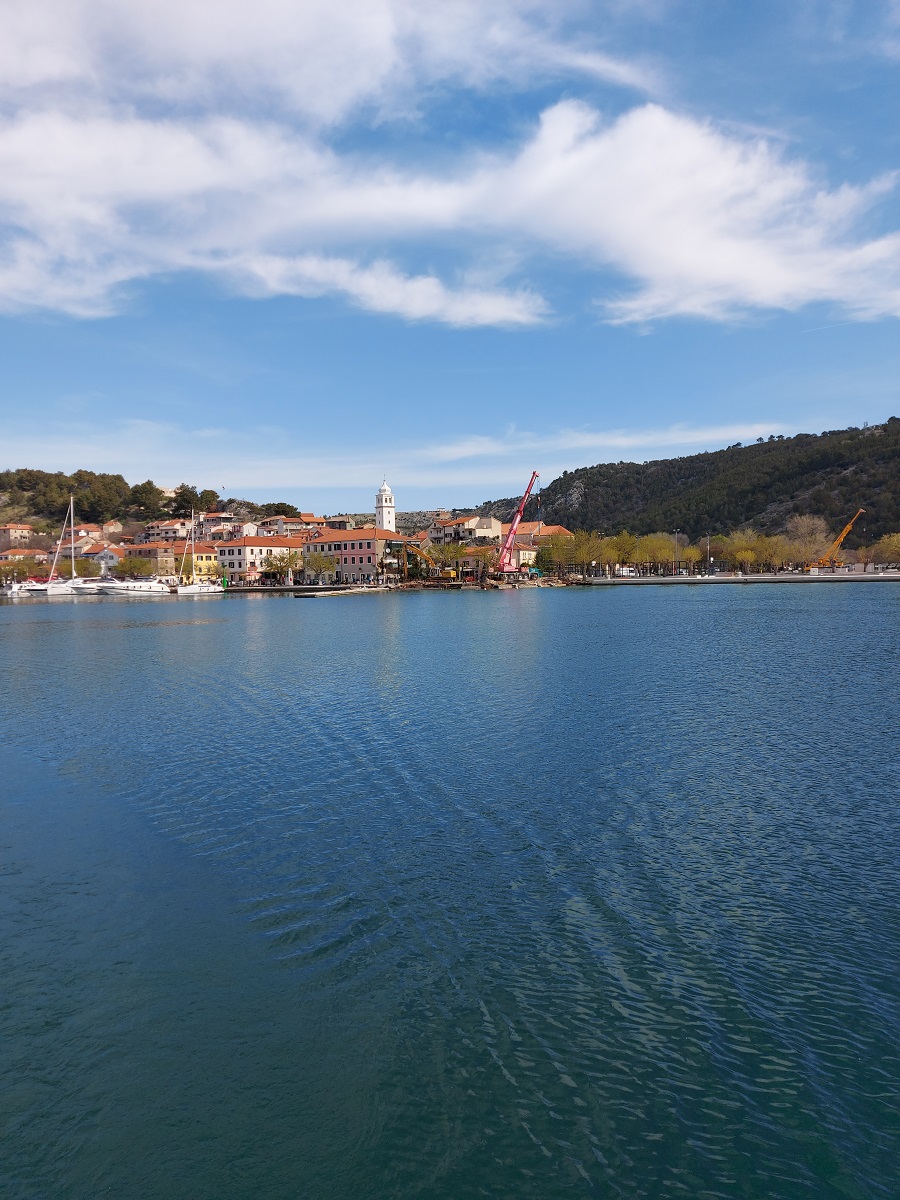
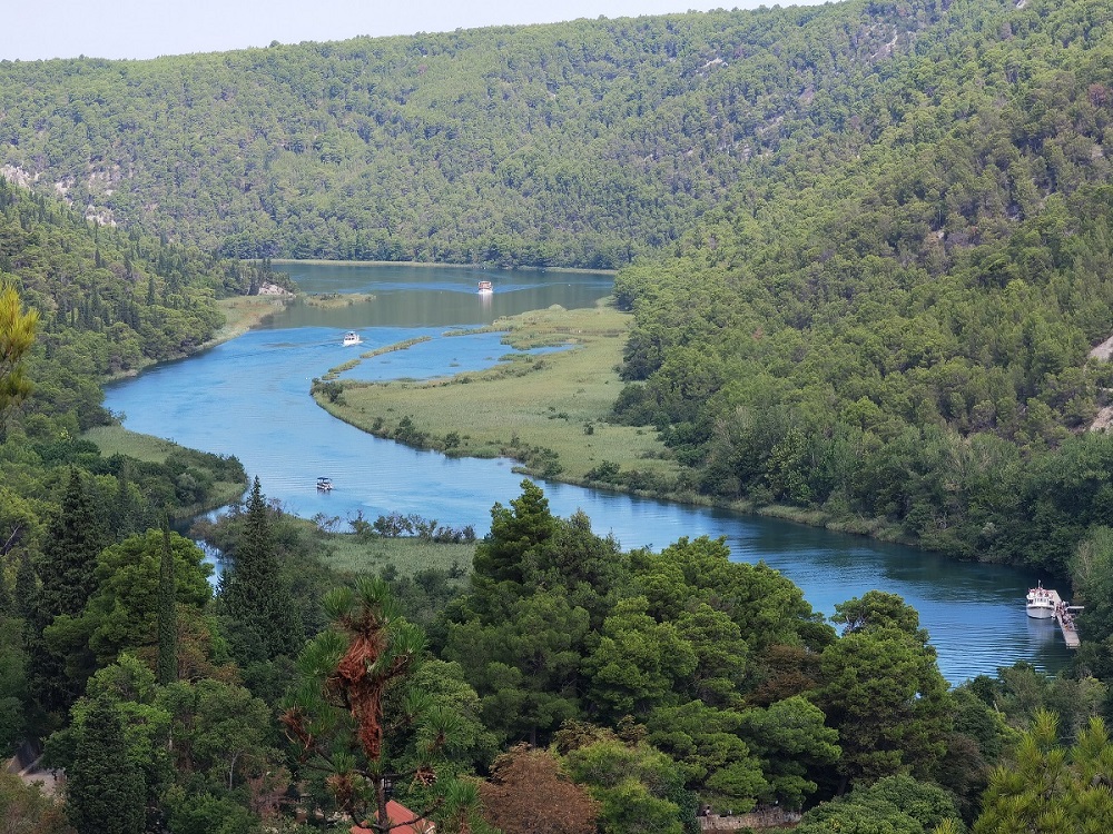
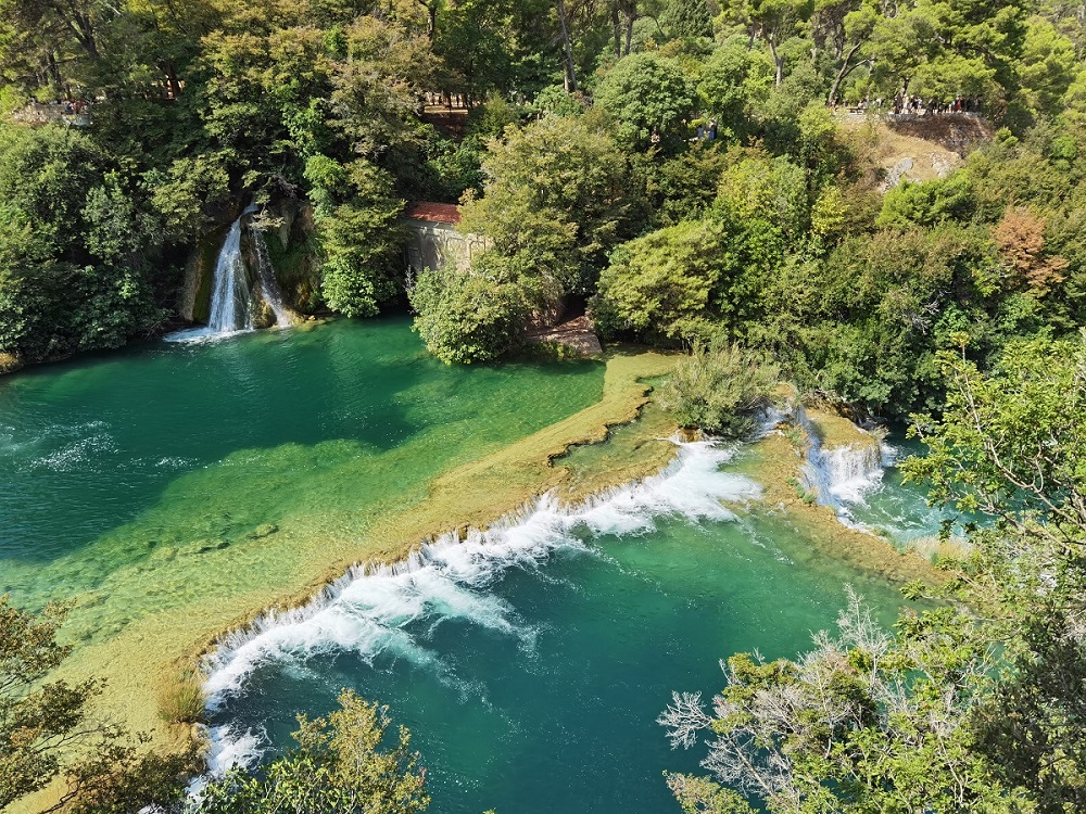
Impressions (Krka Waterfalls)


Sukošan
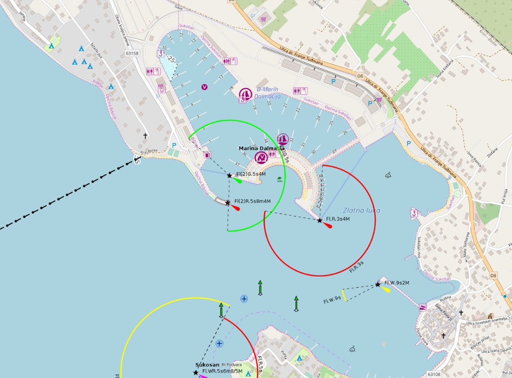
placeholder
- Shelter: placeholder
- Berthing: marina berth
- Depth impression: marina depths
- Nice to know:
- Watch out for:
Impressions
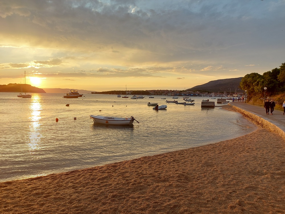
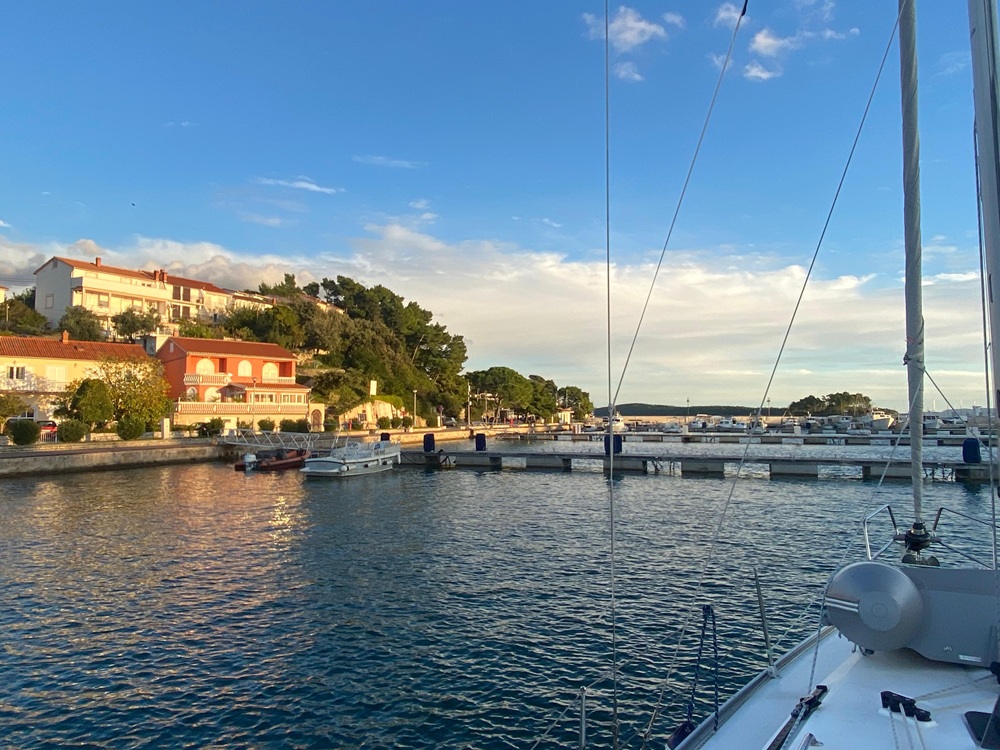
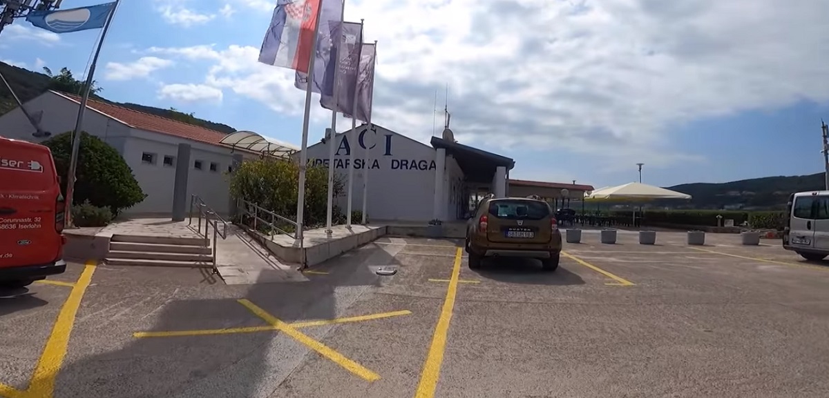
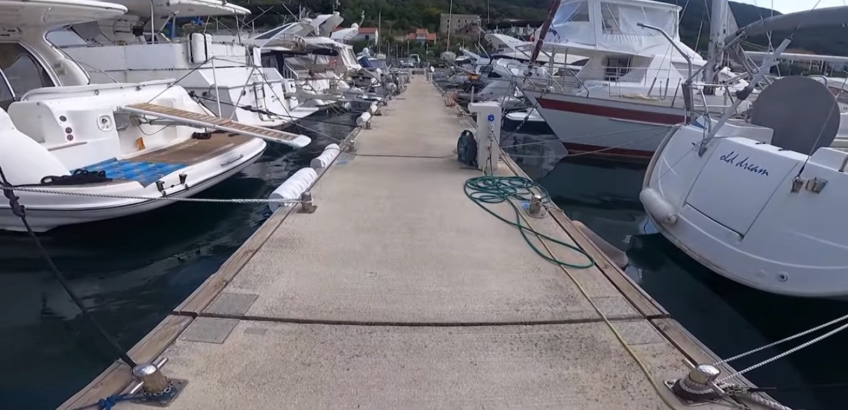
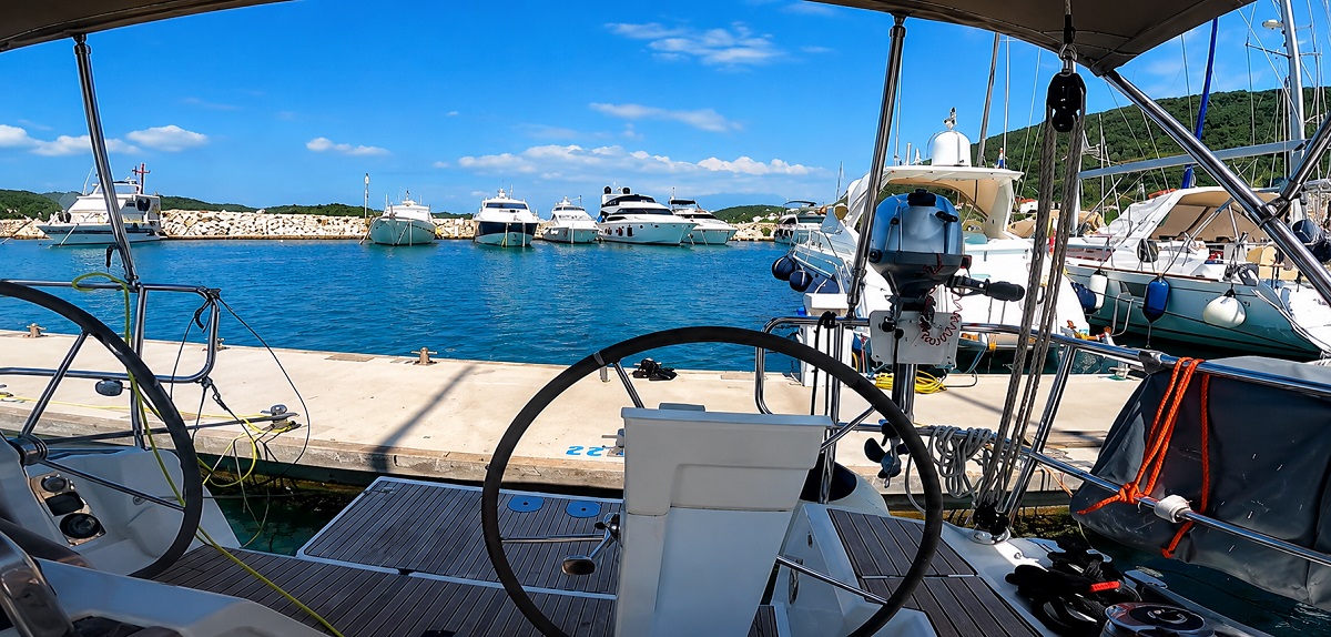
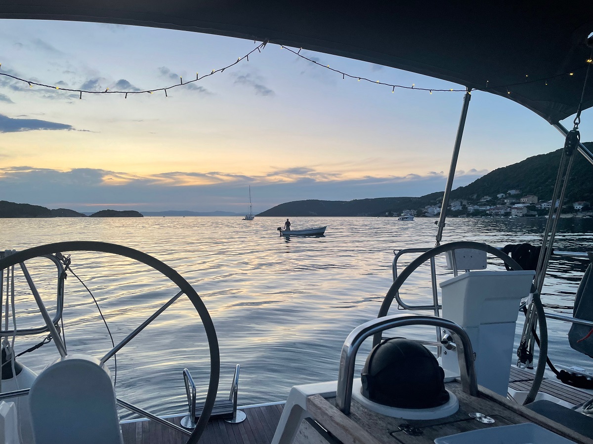
Supetarska Draga (Rab)
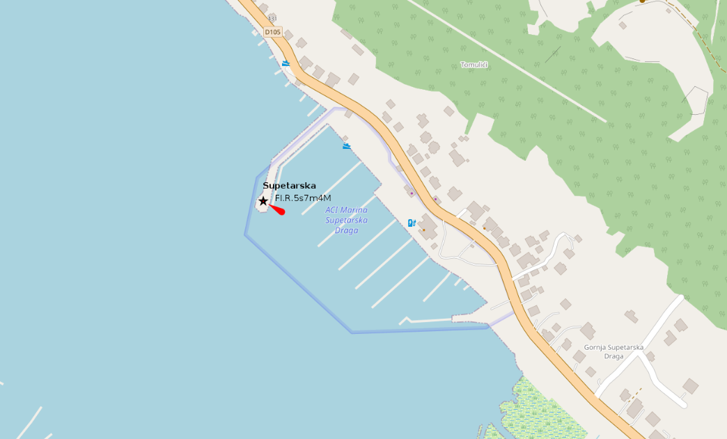
placeholder
- Shelter: placeholder
- Berthing: marina berth
- Depth impression: marina depths
- Nice to know:
- Watch out for:
Impressions

 <
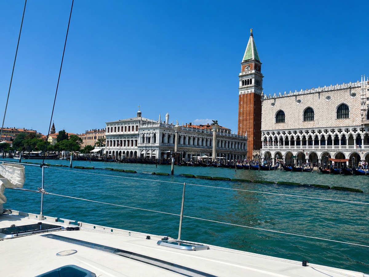
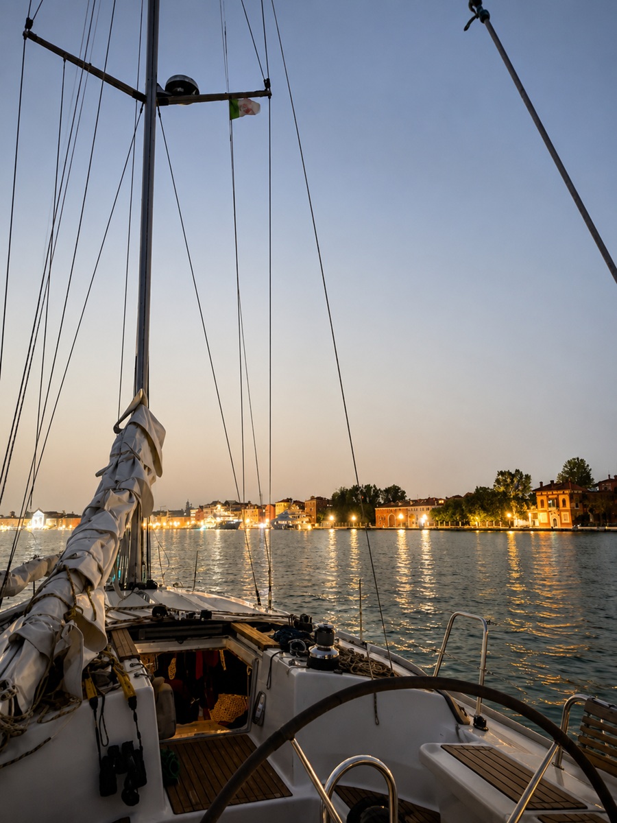
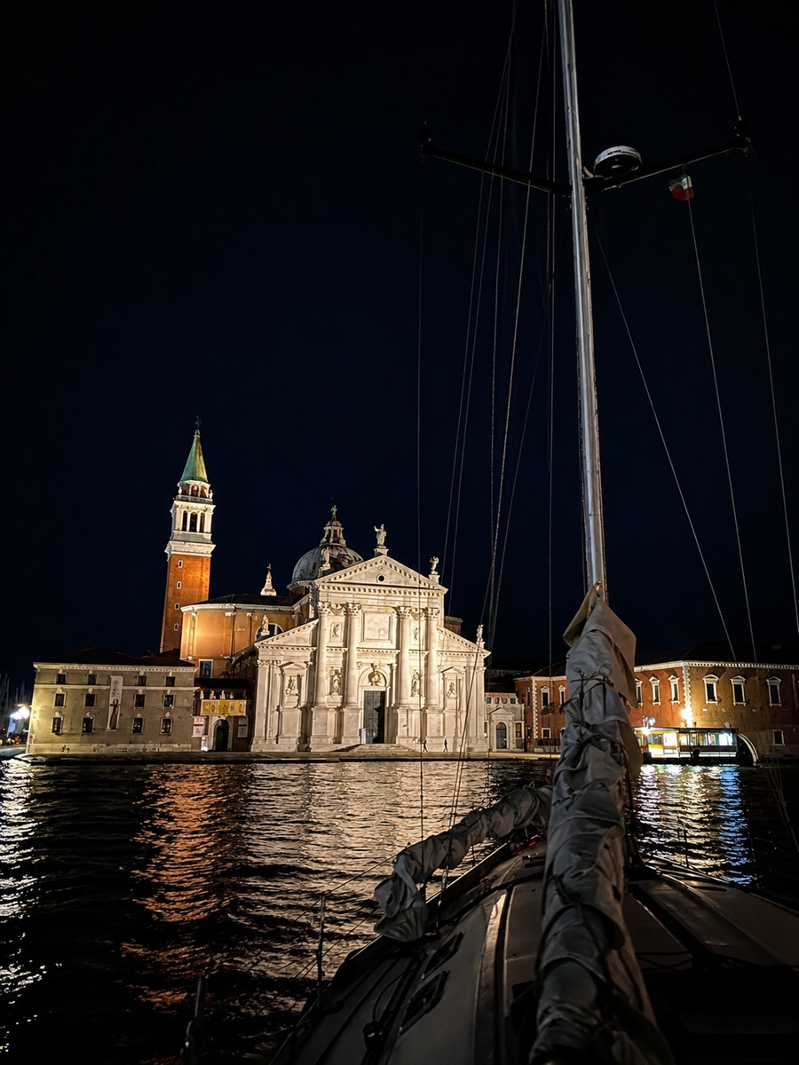
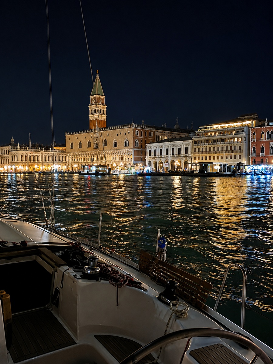
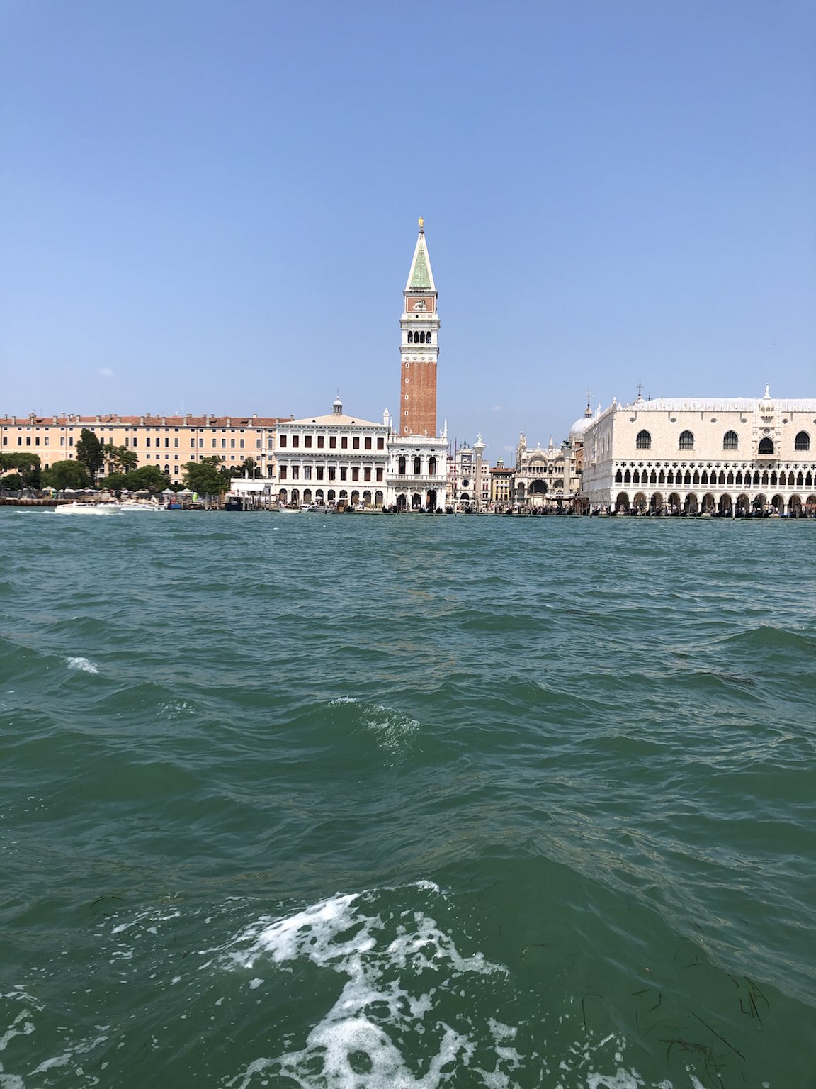
<Venice (Isola Sant'Elena)
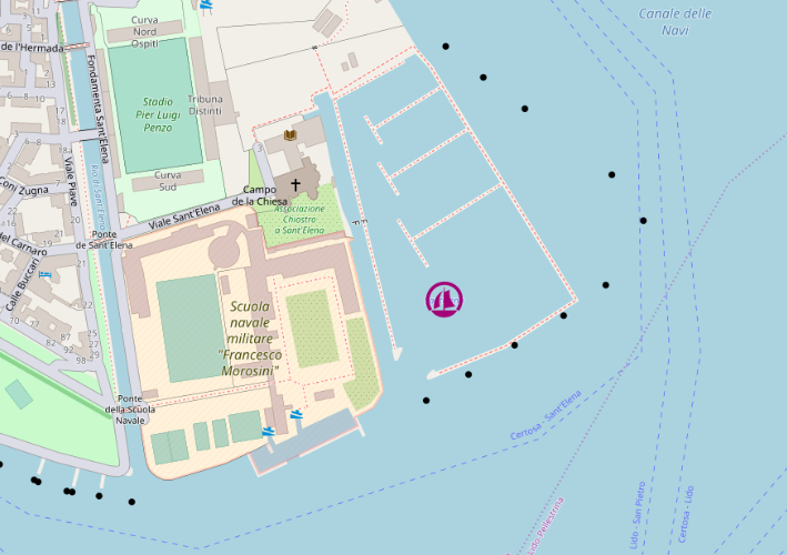
placeholder
- Shelter: placeholder
- Berthing: marina berth
- Depth impression: lagoon / marina depths
- Nice to know:
- Watch out for:
Impressions
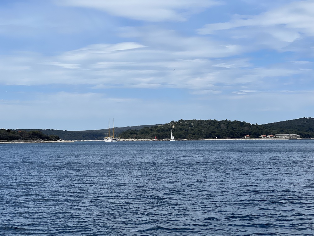
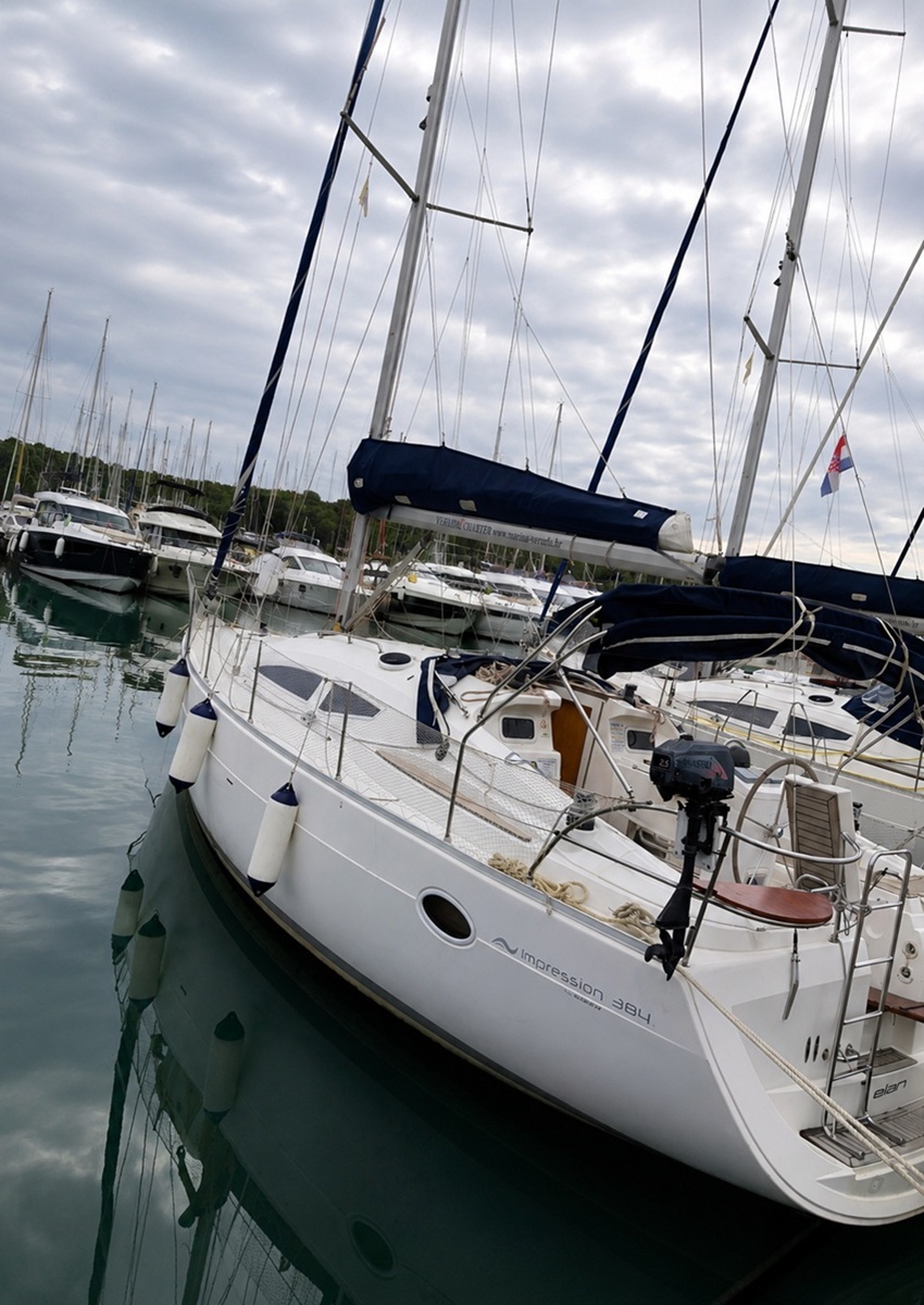
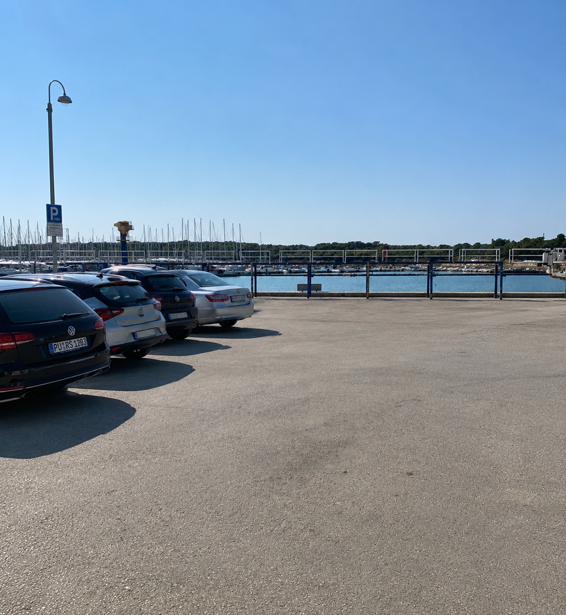
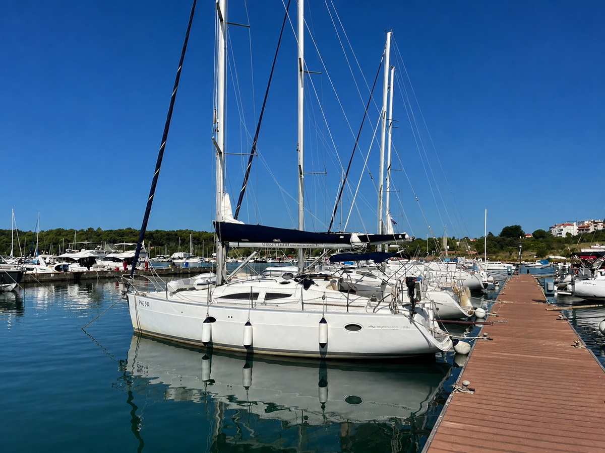
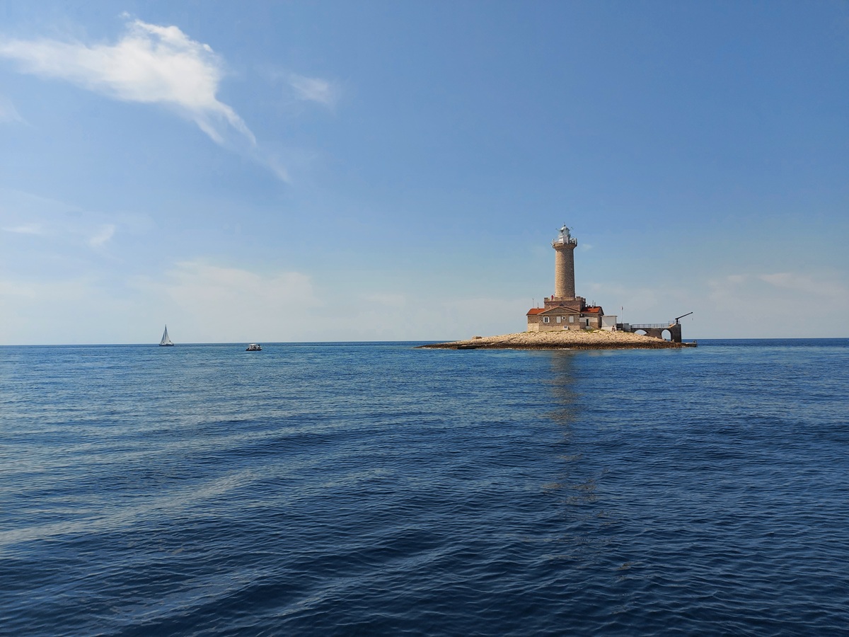
Veruda (Pula)
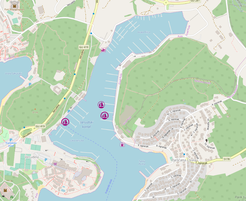
placeholder
- Shelter: placeholder
- Berthing: marina berth
- Depth impression: marina depths
- Nice to know:
- Watch out for:
Impressions
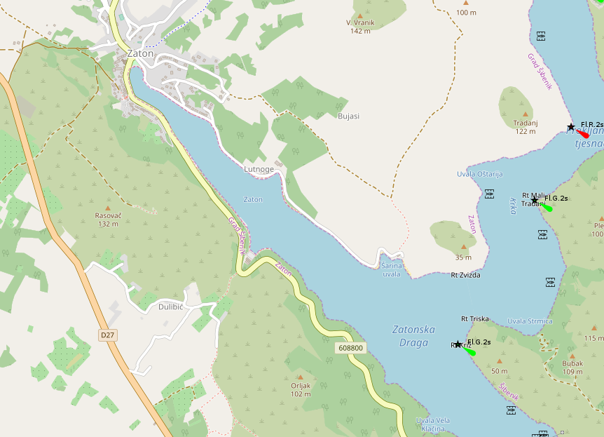
Zaton (Šibenik)
placeholder
- Shelter: placeholder
- Berthing: marina berth / harbour berth
- Depth impression: harbour depths
- Nice to know:
- Watch out for:
Impressions